File:Route of the Expedition from Isle a la Crosse to Fort Providence in 1819 & 20 (1823).jpg
Jump to navigation
Jump to search

Size of this preview: 800 × 434 pixels. Other resolutions: 320 × 174 pixels | 818 × 444 pixels.
Original file (818 × 444 pixels, file size: 177 KB, MIME type: image/jpeg)
Captions
Captions
Add a one-line explanation of what this file represents
Summary
[edit].jpg&action=edit§ion=1)
| Description |
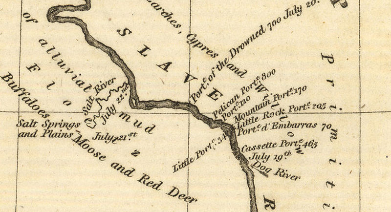
English: A section of Franklin's map showing Salt River and parts of the Slave River, NWT |
| Date | |
| Source | https://www.flickr.com/photos/manitobamaps/3751971809/ |
| Author | Franklin, John. Route of the Expedition from Isle a la Crosse to Fort Providence in 1819 & 20 [map]. Scale not given. In: John Franklin. Narrative of a Journey to the Shores of the Polar Sea, in the Years 1819, 20, 21, and 22. London: John Murray, 1823. |
Licensing
[edit].jpg&action=edit§ion=2)
|
This work is in the public domain in its country of origin and other countries and areas where the copyright term is the author's life plus 70 years or fewer. | |
| This file has been identified as being free of known restrictions under copyright law, including all related and neighboring rights. | |
File history
Click on a date/time to view the file as it appeared at that time.
| Date/Time | Thumbnail | Dimensions | User | Comment | |
|---|---|---|---|---|---|
| current | 05:48, 24 June 2012 | | 818 × 444 (177 KB) | Kayoty (talk | contribs) |
You cannot overwrite this file.
File usage on Commons
The following page uses this file:
File usage on other wikis
The following other wikis use this file:
- Usage on ceb.wikipedia.org
- Usage on en.wikipedia.org
- Usage on hy.wikipedia.org
- Usage on ru.wikipedia.org
- Usage on www.wikidata.org
.jpg&oldid=695967019)