File:Rough Road Near Siadar - geograph.org.uk - 1344983.jpg
Jump to navigation
Jump to search
No higher resolution available.
Rough_Road_Near_Siadar_-_geograph.org.uk_-_1344983.jpg (640 × 427 pixels, file size: 236 KB, MIME type: image/jpeg)
Captions
Captions
Add a one-line explanation of what this file represents
Summary
[edit]
| Description |
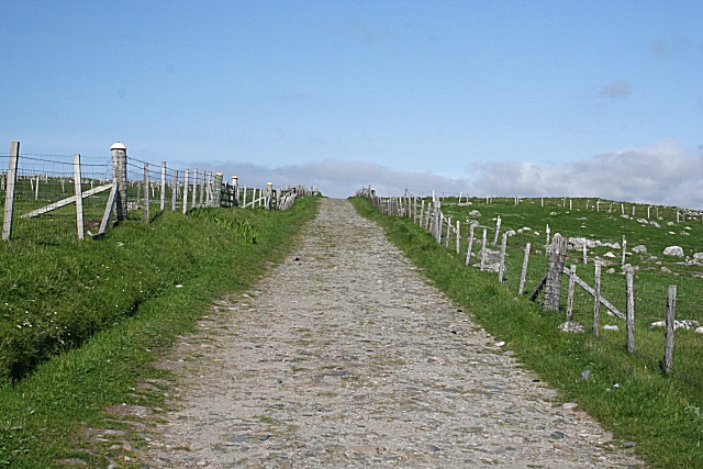
English: Rough Road Near Siadar. This road, a little too rough for a pampered tourist car, gives access to a range of amazingly narrow strips of land above the shore below Siadar. It eventually links with 1345345. Have a look at Get-a-Map for this square to see how the narrow fields are packed together. The 1:25,000 map names this area Cuivatotar, but I have no idea what that is a transliteration of. |
| Date | |
| Source | From geograph.org.uk |
| Author | Anne Burgess |
| Attribution (required by the license) | Anne Burgess / Rough Road Near Siadar / |
| Camera location | | View this and other nearby images on: OpenStreetMap |
|---|
_heading:45.00&language=en)
| Object location | | View this and other nearby images on: OpenStreetMap |
|---|
_heading:45.00&language=en)
Licensing
[edit]

|
This image was taken from the Geograph project collection. See this photograph's page on the Geograph website for the photographer's contact details. The copyright on this image is owned by Anne Burgess and is licensed for reuse under the Creative Commons Attribution-ShareAlike 2.0 license.
|
This file is licensed under the Creative Commons Attribution-Share Alike 2.0 Generic license.
Attribution: Anne Burgess
- You are free:
- to share – to copy, distribute and transmit the work
- to remix – to adapt the work
- Under the following conditions:
- attribution – You must give appropriate credit, provide a link to the license, and indicate if changes were made. You may do so in any reasonable manner, but not in any way that suggests the licensor endorses you or your use.
- share alike – If you remix, transform, or build upon the material, you must distribute your contributions under the same or compatible license as the original.
File history
Click on a date/time to view the file as it appeared at that time.
| Date/Time | Thumbnail | Dimensions | User | Comment | |
|---|---|---|---|---|---|
| current | 05:29, 28 February 2011 | | 640 × 427 (236 KB) | GeographBot (talk | contribs) | == {{int:filedesc}} == {{Information |description={{en|1=Rough Road Near Siadar This road, a little too rough for a pampered tourist car, gives access to a range of amazingly narrow strips of land above the shore below Siadar. It eventually links with [[[ |
You cannot overwrite this file.
File usage on Commons
There are no pages that use this file.