File:Rothenburg 2 1900.jpg
Jump to navigation
Jump to search
Size of this preview: 800 × 600 pixels. Other resolutions: 320 × 240 pixels | 640 × 480 pixels | 1,024 × 767 pixels | 1,280 × 959 pixels | 2,560 × 1,919 pixels | 3,516 × 2,635 pixels.
Original file (3,516 × 2,635 pixels, file size: 2.75 MB, MIME type: image/jpeg)
Captions
Captions
Add a one-line explanation of what this file represents
Summary
[edit]| Description |
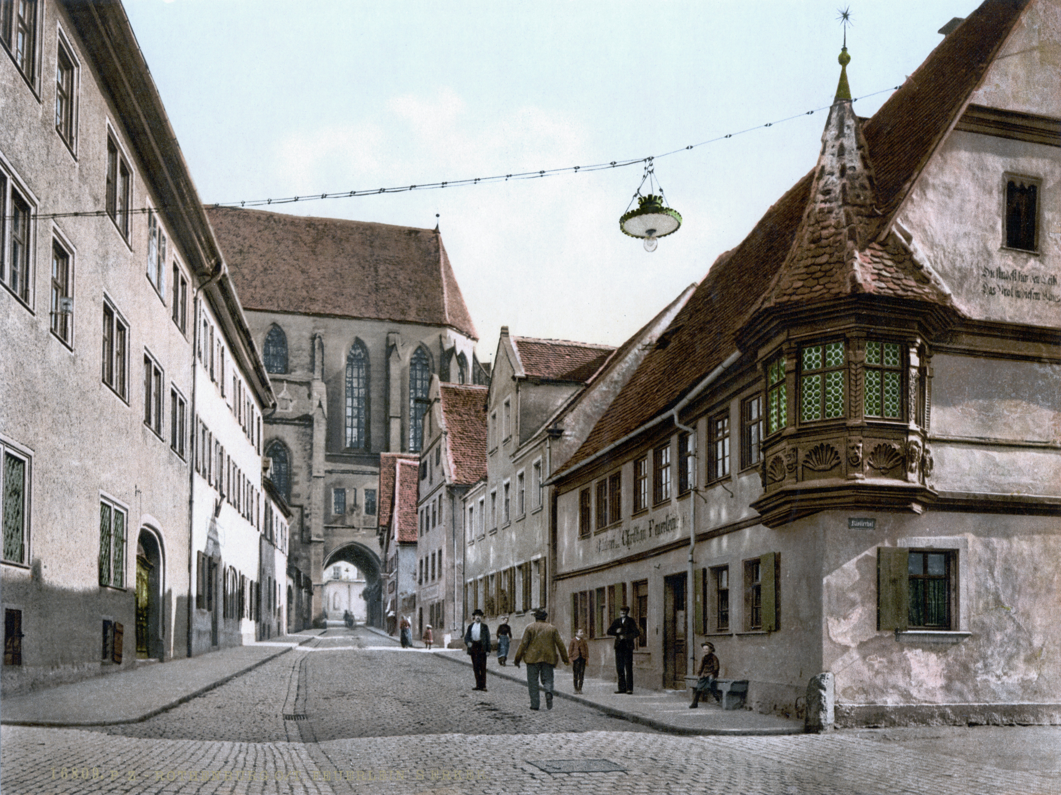
Deutsch: Rothenburg um 1900 |
||
| Date | between 1890 and 1905 | ||
| Source |
Original image: Photochrom print (color photo lithograph)
|
||
| Author | Unknown author | ||
| Permission (Reusing this file) |
"Photographs in this collection were published before 1929 and are therefore in the public domain." |

Licensing
[edit]- For photochroms by the Detroit Publishing Co.
This work is in the public domain in the United States because it was published (or registered with the U.S. Copyright Office) before January 1, 1929.
|
- For photochroms by the Photoglob AG
This work is in the public domain in the United States because it was published (or registered with the U.S. Copyright Office) before January 1, 1929.
|
The author of this image from Switzerland is unknown, and the image was published at least 70 years ago. It is therefore in the public domain in Switzerland by virtue of Art. 31 of the Swiss Copyright Act.
|
 |
| Camera location | | View this and other nearby images on: OpenStreetMap |
|---|
| Object location | | View this and other nearby images on: OpenStreetMap |
|---|
File history
Click on a date/time to view the file as it appeared at that time.
| Date/Time | Thumbnail | Dimensions | User | Comment | |
|---|---|---|---|---|---|
| current | 22:17, 1 June 2009 | | 3,516 × 2,635 (2.75 MB) | Jan Arkesteijn (talk | contribs) | hi-res version, color correction |
| 22:40, 28 July 2008 |  | 956 × 683 (191 KB) | Cropbot (talk | contribs) | upload cropped version, operated by User:ChristianBier. Summary: cropped | |
| 07:17, 1 July 2007 |  | 1,024 × 784 (216 KB) | Tohma (talk | contribs) | Rothenburg um 1900 {{LOC-pchrom|ppmsca|00113}} Category:Rothenburg ob der Tauber |
You cannot overwrite this file.
File usage on Commons
There are no pages that use this file.
Metadata
Categories:
- Historic views of Rothenburg ob der Tauber
- Rothenburg ob der Tauber on photochrome prints
- Remote views of St. Jakob (Rothenburg ob der Tauber)
- Klingengasse (Rothenburg ob der Tauber)
- Carriage arch of St. Jakob (Rothenburg ob der Tauber)
- Klingengasse 9 (Rothenburg ob der Tauber)
- 19th century photochrome prints of the German Empire (raw files)
- P.Z.