File:Rosenberg Putzar Plateau Südwest.jpg
Jump to navigation
Jump to search

Size of this preview: 800 × 423 pixels. Other resolutions: 320 × 169 pixels | 640 × 339 pixels | 1,024 × 542 pixels | 1,280 × 677 pixels | 2,560 × 1,354 pixels | 4,864 × 2,573 pixels.
Original file (4,864 × 2,573 pixels, file size: 4.35 MB, MIME type: image/jpeg)
Captions
Captions
Add a one-line explanation of what this file represents
Summary
[edit]
| Description |
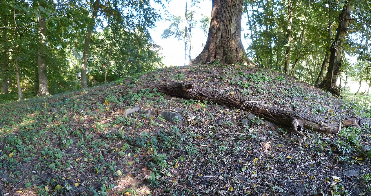
This file was uploaded with Commonist. Deutsch: Turmhügel Rosenberg in Putzar, Blick von Südwesten auf das Plateau |
| Date | |
| Source | Own work |
| Author | User:Erell |
| Camera location | | View this and other nearby images on: OpenStreetMap |
|---|
Licensing
[edit]
I, the copyright holder of this work, hereby publish it under the following license:
This file is licensed under the Creative Commons Attribution-Share Alike 3.0 Unported license.
- You are free:
- to share – to copy, distribute and transmit the work
- to remix – to adapt the work
- Under the following conditions:
- attribution – You must give appropriate credit, provide a link to the license, and indicate if changes were made. You may do so in any reasonable manner, but not in any way that suggests the licensor endorses you or your use.
- share alike – If you remix, transform, or build upon the material, you must distribute your contributions under the same or compatible license as the original.
File history
Click on a date/time to view the file as it appeared at that time.
| Date/Time | Thumbnail | Dimensions | User | Comment | |
|---|---|---|---|---|---|
| current | 23:16, 5 July 2013 | | 4,864 × 2,573 (4.35 MB) | Erell (talk | contribs) |
You cannot overwrite this file.
File usage on Commons
The following page uses this file:
- File:P1150913 stitch.jpg (file redirect)