File:Ropa (gmina) location map.png
Original file (1,864 × 2,123 pixels, file size: 450 KB, MIME type: image/png)
Captions
Captions
Summary
[edit]_location_map.png&action=edit§ion=1)
| Description |
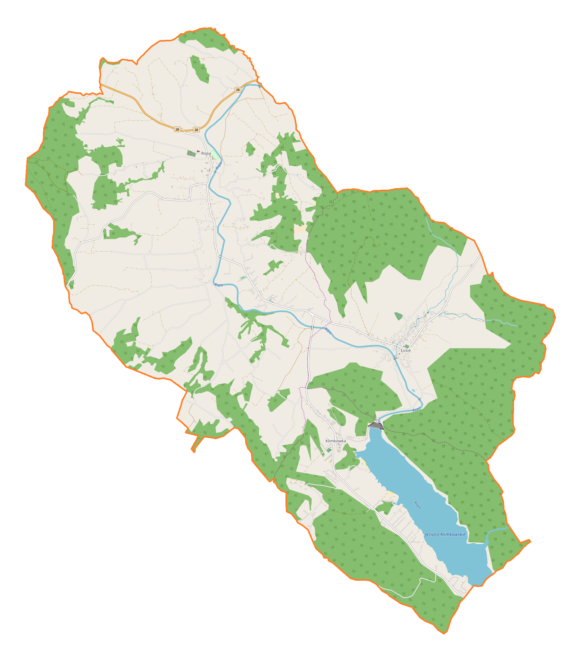
English: Location map |
| Date | |
| Source | Own work |
| Author | Smat |
| Description |
Polski: Mapa gminy Ropa, Polska
English: Map of Ropa (gmina), Poland |
|||||||||
| Date | ||||||||||
| Source | You may find a page on the OpenStreetMap wiki page for Ropa (gmina) | |||||||||
| Creator |
OpenStreetMap contributors OpenStreetMap contributors |
|||||||||
| Permission (Reusing this file) |
OpenStreetMap data is available under the Open Database License (details). Map tiles are licensed under the Creative Commons Attribution-ShareAlike 2.0 license (CC-BY-SA 2.0).
This file is licensed under the Creative Commons Attribution-Share Alike 2.0 Generic license.
|
|||||||||
| Geotemporal data | ||||||||||
| Bounding box |
|
|||||||||
| Georeferencing | If inappropriate please set warp_status = skip to hide. | |||||||||
Licensing
[edit]_location_map.png&action=edit§ion=2)
| This work contains information from OpenStreetMap, which is made available under the Open Database License (ODbL).
The ODbL does not require any particular license for maps produced from ODbL data. Prior to 1 August 2020, map tiles produced by the OpenStreetMap Foundation were licensed under the CC-BY-SA-2.0 license. Maps produced by other people may be subject to other licences. |
File history
Click on a date/time to view the file as it appeared at that time.
| Date/Time | Thumbnail | Dimensions | User | Comment | |
|---|---|---|---|---|---|
| current | 11:02, 3 March 2018 | | 1,864 × 2,123 (450 KB) | Smat (talk | contribs) | User created page with UploadWizard |
You cannot overwrite this file.
File usage on Commons
There are no pages that use this file.
File usage on other wikis
The following other wikis use this file:
- Usage on pl.wikipedia.org
- Ropa (wieś)
- Klimkówka (powiat gorlicki)
- Łosie (powiat gorlicki)
- Cmentarz wojenny nr 72 – Ropa
- Cmentarz wojenny nr 71 – Łosie
- Parafia św. Michała Archanioła w Ropie
- Zagroda Maziarska w Łosiu
- Parafia Narodzenia Najświętszej Marii Panny w Łosiu
- Cerkiew Narodzenia Najświętszej Marii Panny w Łosiu
- Kościół św. Michała Archanioła w Ropie
- Parafia Narodzenia Najświętszej Maryi Panny w Łosiu (powiat gorlicki)
- Park Miniatur w Ropie
- Zagóra (Ropa)
- Flasza (Klimkówka)
- Pniaki (Klimkówka)
- Na Szlabancie
- Niżny Koniec (Łosie)
- Telechówki
- Wyżny Koniec (Łosie)
- Zawoda (Łosie)
- Bogaczówka
- Bukowa (Ropa)
- Czachorówka
- Deciówka
- Drągówka
- Folwark (Ropa)
- Pociecha (Ropa)
- Jaworówka (Ropa)
- Kąty (Ropa)
- Kowalówka (Ropa)
- Lipie (Ropa)
- Potoki (Ropa)
- Wierzchy (Ropa)
- Wola (Ropa)
- Zadział (Ropa)
- Zagórze (Ropa)
- Zagrody (Ropa)
- Zalesie (Ropa)
- Cerkiew Zaśnięcia Bogurodzicy w Klimkówce
- Kaplica cmentarna w Łosiu
- Moduł:Mapa/dane/Ropa (gmina)
- Usage on pl.wikibooks.org
_location_map.png&oldid=706038186)