File:Rocket Or Needle (138191789).jpeg
Jump to navigation
Jump to search

Size of this preview: 800 × 533 pixels. Other resolutions: 320 × 213 pixels | 640 × 427 pixels | 1,024 × 683 pixels | 1,280 × 853 pixels | 2,048 × 1,365 pixels.
Original file (2,048 × 1,365 pixels, file size: 518 KB, MIME type: image/jpeg)
Captions
Captions
Add a one-line explanation of what this file represents
Summary
[edit].jpeg&action=edit§ion=1)
| Rocket Or Needle | |
|---|---|
| Photographer | |
| Title |
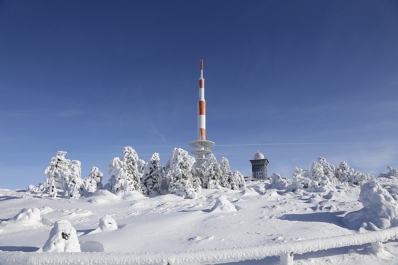
Rocket Or Needle |
| Description |
500px provided description: Blick auf die Bergstation auf dem Brocken im Harz. [#trees ,#frozen ,#forest ,#winter ,#cold ,#white ,#snow ,#mountain ,#ice] |
| Date | 26 January 2013, 16:55:07 (UTC) |
| Source | Imported from 500px (archived version) by the Archive Team. (detail page) |
| Permission (Reusing this file) |
This file is licensed under the Creative Commons Attribution-Share Alike 3.0 Unported license.
|
| Camera location | | View this and other nearby images on: OpenStreetMap |
|---|
.jpeg¶ms=051.799423_N_0010.615218_E_globe:Earth_type:camera__&language=en)
File history
Click on a date/time to view the file as it appeared at that time.
| Date/Time | Thumbnail | Dimensions | User | Comment | |
|---|---|---|---|---|---|
| current | 22:28, 26 October 2018 | | 2,048 × 1,365 (518 KB) | Rodrigo.Argenton (talk | contribs) | Photo Rocket Or Needle imported from 500px with import-500px |
You cannot overwrite this file.
File usage on Commons
The following page uses this file:
.jpeg)
File usage on other wikis
The following other wikis use this file:
- Usage on de.wikipedia.org
.jpeg&oldid=830113090)