File:Rockental fd.JPG
Original file (5,184 × 3,888 pixels, file size: 6.13 MB, MIME type: image/jpeg)
Captions
Summary
[edit]DescriptionRockental fd.JPG |
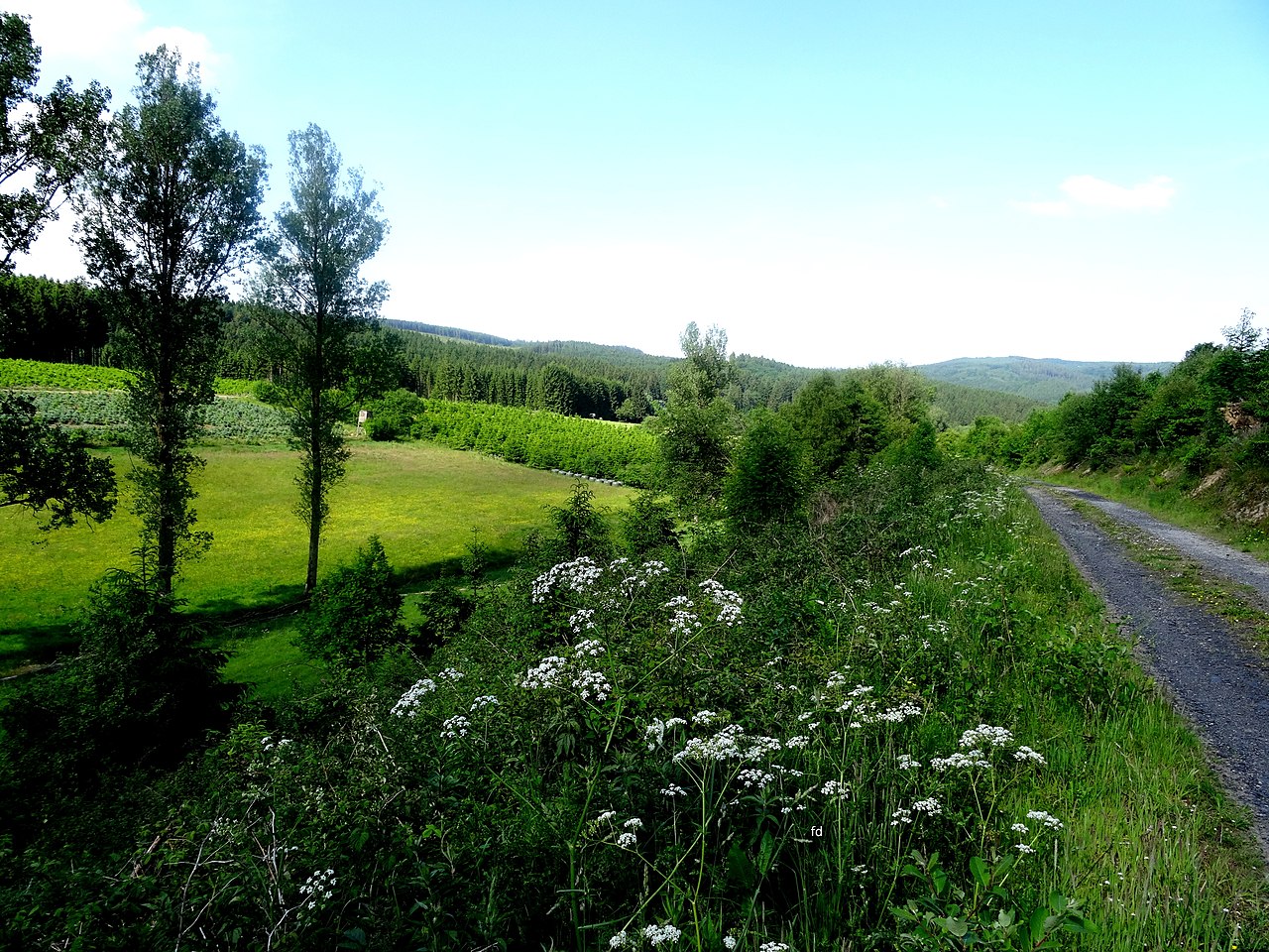
Deutsch: Rockenbachtal nördlich von Nuttlar |
Date | |
Source | Own work |
Author | Friedhelm Dröge |
Camera location | 51° 22′ 57.65″ N, 8° 24′ 47.59″ E | View this and other nearby images on: OpenStreetMap | 51.382680; 8.413220 |
---|
Licensing
[edit]The copyright holder of this work allows anyone to use it for any purpose including unrestricted redistribution, commercial use, and modification.
Please check the source to verify that this is correct. In particular, note that publication on the Internet, like publication by any other means, does not in itself imply permission to redistribute. Files without valid permission should be tagged with {{subst:npd}}. Usage notes:
|
File history
Click on a date/time to view the file as it appeared at that time.
Date/Time | Thumbnail | Dimensions | User | Comment | |
---|---|---|---|---|---|
current | 15:11, 19 September 2016 | 5,184 × 3,888 (6.13 MB) | Friedhelm Dröge (talk | contribs) | {{Information |Description ={{de|1=Rockenbachtal nördlich von Nuttlar}} |Source ={{own}} |Author =Friedhelm Dröge |Date =14.6.2015 |Permission = |other_versions = }} Category:Nuttlar |
You cannot overwrite this file.
File usage on Commons
There are no pages that use this file.
Metadata
This file contains additional information such as Exif metadata which may have been added by the digital camera, scanner, or software program used to create or digitize it. If the file has been modified from its original state, some details such as the timestamp may not fully reflect those of the original file. The timestamp is only as accurate as the clock in the camera, and it may be completely wrong.
Camera manufacturer | SONY |
---|---|
Camera model | DSC-HX50V |
Exposure time | 1/400 sec (0.0025) |
F-number | f/3.5 |
ISO speed rating | 80 |
Date and time of data generation | 16:59, 14 June 2015 |
Lens focal length | 4.3 mm |
Latitude | 51° 22′ 57.65″ N |
Longitude | 8° 24′ 47.59″ E |
Altitude | 362.1 meters above sea level |
Orientation | Normal |
Horizontal resolution | 350 dpi |
Vertical resolution | 350 dpi |
Software used | GIMP 2.8.10 |
File change date and time | 10:44, 20 June 2015 |
Y and C positioning | Co-sited |
Exposure Program | Landscape mode (for landscape photos with the background in focus) |
Exif version | 2.3 |
Date and time of digitizing | 16:59, 14 June 2015 |
Meaning of each component |
|
Image compression mode | 2 |
APEX brightness | 9.1265625 |
APEX exposure bias | 0 |
Maximum land aperture | 3.6171875 APEX (f/3.5) |
Metering mode | Pattern |
Light source | Unknown |
Flash | Flash did not fire, compulsory flash suppression |
Supported Flashpix version | 1 |
Color space | sRGB |
File source | Digital still camera |
Scene type | A directly photographed image |
Custom image processing | Normal process |
Exposure mode | Auto exposure |
White balance | Auto white balance |
Digital zoom ratio | 1 |
Scene capture type | Landscape |
Contrast | Normal |
Saturation | Normal |
Sharpness | Normal |
GPS time (atomic clock) | 14:59 |
Receiver status | Measurement in progress |
Measurement mode | 3-dimensional measurement |
Measurement precision | Poor (1.79) |
Speed unit | Kilometers per hour |
Speed of GPS receiver | 1.116 |
Reference for direction of movement | True direction |
Direction of movement | 286.92 |
Geodetic survey data used | WGS-84 |
GPS date | 14 June 2015 |
GPS differential correction | 0 |
GPS tag version | 0.0.3.2 |
Image width | 5,184 px |
Image height | 3,888 px |