File:Roch 2015 - 4675943 - geograph.org.uk.jpg
Jump to navigation
Jump to search
Size of this preview: 800 × 478 pixels. Other resolutions: 320 × 191 pixels | 640 × 383 pixels | 1,024 × 612 pixels.
Original file (1,024 × 612 pixels, file size: 81 KB, MIME type: image/jpeg)
Captions
Captions
Add a one-line explanation of what this file represents
Summary
[edit]
| Description |
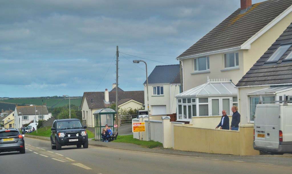
English: A487 road passing the village of Roch, Pembrokeshire, Wales |
| Date | |
| Source | https://www.geograph.org.uk/photo/4675943 |
| Author | Deborah Tilley |
| Attribution (required by the license) | Deborah Tilley / Watching The 2015 Classic Car Rally At Roch / |
| Camera location | | View this and other nearby images on: OpenStreetMap |
|---|
Brightness and contrast adjusted by me, Sionk
Licensing
[edit]

|
This image was taken from the Geograph project collection. See this photograph's page on the Geograph website for the photographer's contact details. The copyright on this image is owned by Deborah Tilley and is licensed for reuse under the Creative Commons Attribution-ShareAlike 2.0 license.
|
This file is licensed under the Creative Commons Attribution-Share Alike 2.0 Generic license.
Attribution: Deborah Tilley
- You are free:
- to share – to copy, distribute and transmit the work
- to remix – to adapt the work
- Under the following conditions:
- attribution – You must give appropriate credit, provide a link to the license, and indicate if changes were made. You may do so in any reasonable manner, but not in any way that suggests the licensor endorses you or your use.
- share alike – If you remix, transform, or build upon the material, you must distribute your contributions under the same or compatible license as the original.
File history
Click on a date/time to view the file as it appeared at that time.
| Date/Time | Thumbnail | Dimensions | User | Comment | |
|---|---|---|---|---|---|
| current | 18:48, 30 May 2016 | | 1,024 × 612 (81 KB) | Sionk (talk | contribs) | User created page with UploadWizard |
You cannot overwrite this file.
File usage on Commons
There are no pages that use this file.