File:Riviere au Tonnerre 026.jpg
Jump to navigation
Jump to search
Size of this preview: 800 × 600 pixels. Other resolutions: 320 × 240 pixels | 640 × 480 pixels | 1,024 × 768 pixels | 1,280 × 960 pixels | 1,600 × 1,200 pixels.
Original file (1,600 × 1,200 pixels, file size: 776 KB, MIME type: image/jpeg)
Captions
Captions
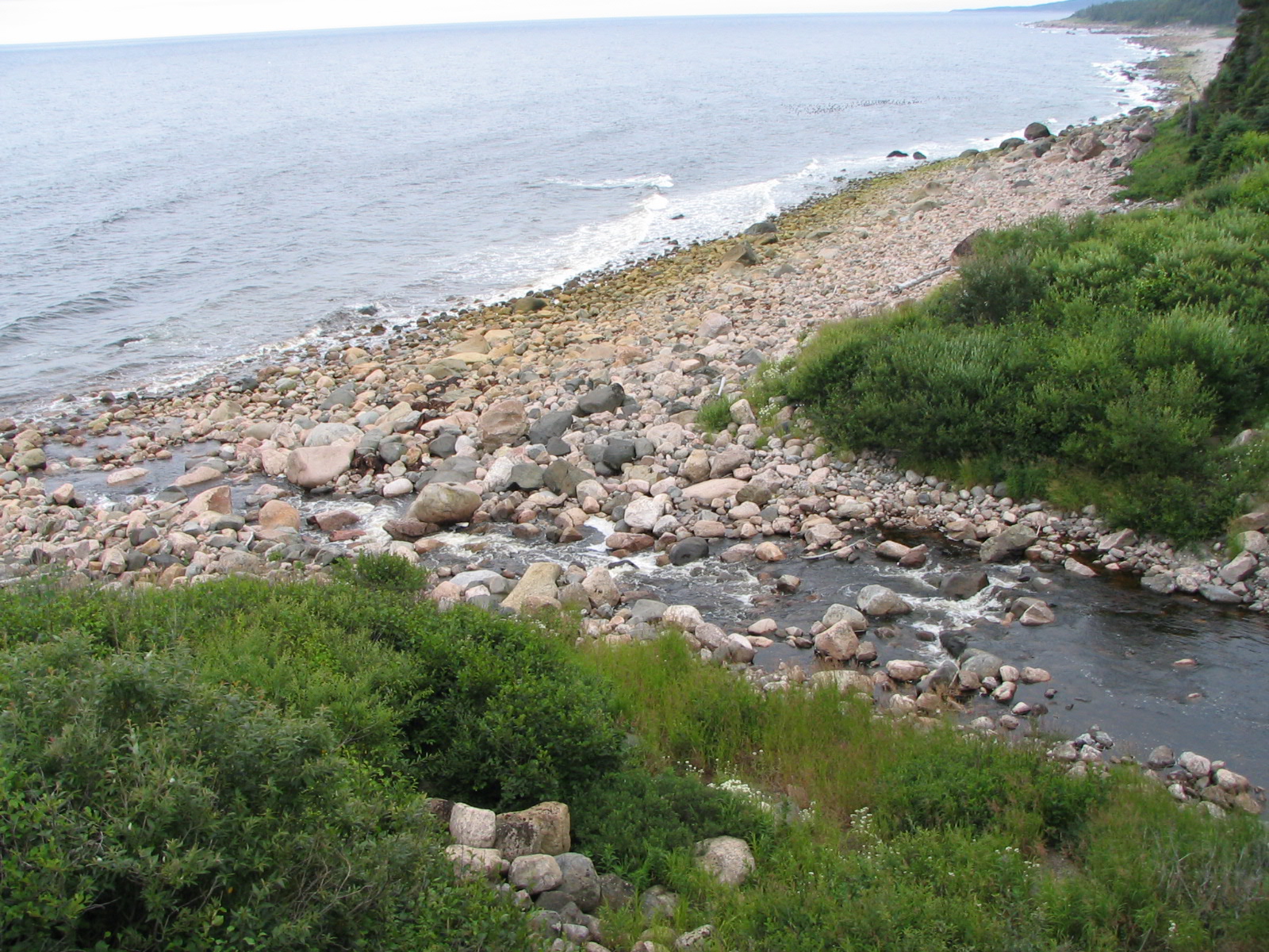
Mouth of the Sault Plat River, coastal shore
Summary
[edit]
| Description |
English: 50° 19' 00.0" N - 65° 14' 38.6" W, Côte-Nord, MRC Minganie. Rivière-au-Tonnerre (municipality), Gulf of St. Lawrence, mouth of the Sault Plat River, coastal shore, Wednesday August 11, 2004.
Français : 50° 19' 00.0" N - 65° 14' 38.6" O, Côte-Nord, MRC Minganie. Rivière-au-Tonnerre (municipalité), golfe du Saint-Laurent, embouchure de la rivière du Sault Plat, rivage côtier, le mercredi 11 août 2004. |
| Date | |
| Source | Own work |
| Author | Nichole Ouellette |
— Rivière du Sault-Plat – Baie-Johan-Beetz - Natashquan - golfe du Saint-Laurent. —
- Rivière du Sault Plat
- Rivière au Bouleau, route des Baleines
- Baie-Johan-Beetz
- Natashquan
- Natashquan
- Route des Baleines (route n° 138 Est)
- Route des Baleines (route n° 138 Est)
- Au nord-ouest de l'île d'Anticosti, rorquals à bosse
- Au nord-ouest de l'île d'Anticosti, rorquals à bosse
- ouellette001.com - florelaurentienne.com
Licensing
[edit]
I, the copyright holder of this work, hereby publish it under the following license:
This file is licensed under the Creative Commons Attribution 4.0 International license.
- You are free:
- to share – to copy, distribute and transmit the work
- to remix – to adapt the work
- Under the following conditions:
- attribution – You must give appropriate credit, provide a link to the license, and indicate if changes were made. You may do so in any reasonable manner, but not in any way that suggests the licensor endorses you or your use.
File history
Click on a date/time to view the file as it appeared at that time.
| Date/Time | Thumbnail | Dimensions | User | Comment | |
|---|---|---|---|---|---|
| current | 10:49, 15 June 2024 | | 1,600 × 1,200 (776 KB) | Nichole Ouellette (talk | contribs) | Uploaded own work with UploadWizard |
You cannot overwrite this file.
File usage on Commons
There are no pages that use this file.
File usage on other wikis
The following other wikis use this file:
- Usage on en.wikipedia.org