File:Rivertone.jpg
Jump to navigation
Jump to search
No higher resolution available.
Rivertone.jpg (640 × 480 pixels, file size: 113 KB, MIME type: image/jpeg)
Captions
Captions
Add a one-line explanation of what this file represents
| Description |
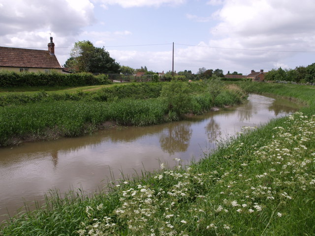
English: River Tone, Somerset. The Tome, flowing towards the camera between levees, curves past Creed's Farm on the right as it approaches Burrowbridge. On the left is "The Fruit Garden". Seen from the River Parrett Trail. |
| Date | |
| Source | From geograph.org.uk |
| Author | Derek Harper |
| Permission (Reusing this file) |
Creative Commons Attribution Share-alike license 2.0 |
| Camera location | | View this and other nearby images on: OpenStreetMap |
|---|

|
This image was taken from the Geograph project collection. See this photograph's page on the Geograph website for the photographer's contact details. The copyright on this image is owned by Derek Harper and is licensed for reuse under the Creative Commons Attribution-ShareAlike 2.0 license.
|
This file is licensed under the Creative Commons Attribution-Share Alike 2.0 Generic license.
Attribution: Derek Harper
- You are free:
- to share – to copy, distribute and transmit the work
- to remix – to adapt the work
- Under the following conditions:
- attribution – You must give appropriate credit, provide a link to the license, and indicate if changes were made. You may do so in any reasonable manner, but not in any way that suggests the licensor endorses you or your use.
- share alike – If you remix, transform, or build upon the material, you must distribute your contributions under the same or compatible license as the original.
Original upload log
[edit]
The original description page was here. All following user names refer to en.wikipedia.
- 2007-11-06 08:40 Rodw 640×480×??? (115743 bytes) River Tone The Tome, flowing towards the camera between levees, curves past Creed's Farm on the right as it approaches Burrowbridge. On the left is "The Fruit Garden". Seen from the River Parrett Trail. Creative Commons Licence [Some Rights Reserved] ©
File history
Click on a date/time to view the file as it appeared at that time.
| Date/Time | Thumbnail | Dimensions | User | Comment | |
|---|---|---|---|---|---|
| current | 09:15, 31 August 2008 | | 640 × 480 (113 KB) | TimTay (talk | contribs) | {{geograph|438467|Derek Harper}} {{Information |Description={{en|River Tone, Somerset. The Tome, flowing towards the camera between levees, curves past Creed's Farm on the right as it approaches Burrowbridge. On the left is "The Fruit Garden". Seen from t |
You cannot overwrite this file.
File usage on Commons
The following page uses this file:
File usage on other wikis
The following other wikis use this file:
- Usage on arz.wikipedia.org
- Usage on ceb.wikipedia.org
- Usage on de.wikipedia.org
- Usage on en.wikipedia.org
- Usage on fr.wikipedia.org
- Usage on pl.wikipedia.org
- Usage on www.wikidata.org