File:River confluence at Craig-y-nos Country Park - geograph.org.uk - 425192.jpg
Jump to navigation
Jump to search
No higher resolution available.
River_confluence_at_Craig-y-nos_Country_Park_-_geograph.org.uk_-_425192.jpg (640 × 480 pixels, file size: 97 KB, MIME type: image/jpeg)
Captions
Captions
Add a one-line explanation of what this file represents
Summary
[edit]
| Description |
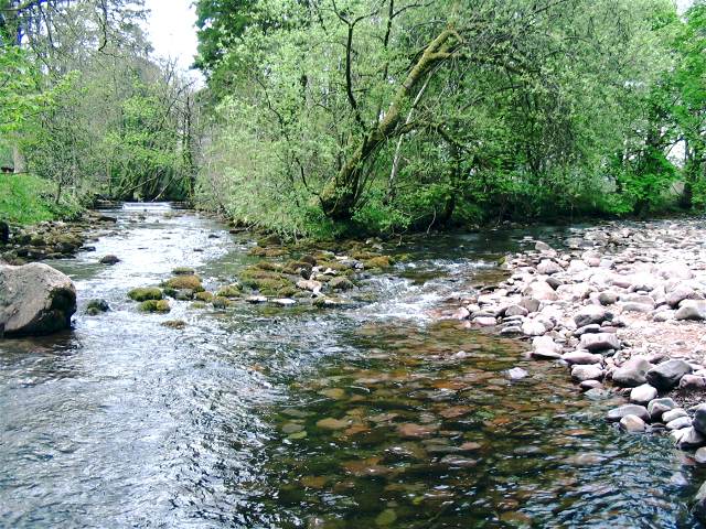
English: River confluence at Craig-y-nos Country Park Just under the bridge that leads from the car park into the main park, these two rivers join. The one on the right is the Tawe on its way from Llyn-y-Fan Fawr to Swansea. A local map in the car park names the one on the left as the river Llynfell. This is where it ends after a very short run out from below Dan-yr-Ogof caves across the road.
Curiously there is a whole different valley called Cwm Llynfell with a separate Nant Llynfell about 10km west of here, also starting in the national park. |
| Date | |
| Source | From geograph.org.uk |
| Author | Nigel Davies |
| Attribution (required by the license) | Nigel Davies / River confluence at Craig-y-nos Country Park / |
| Camera location | | View this and other nearby images on: OpenStreetMap |
|---|
_heading:22.00&language=en)
| Object location | | View this and other nearby images on: OpenStreetMap |
|---|
_heading:22.00&language=en)
Licensing
[edit]

|
This image was taken from the Geograph project collection. See this photograph's page on the Geograph website for the photographer's contact details. The copyright on this image is owned by Nigel Davies and is licensed for reuse under the Creative Commons Attribution-ShareAlike 2.0 license.
|
This file is licensed under the Creative Commons Attribution-Share Alike 2.0 Generic license.
Attribution: Nigel Davies
- You are free:
- to share – to copy, distribute and transmit the work
- to remix – to adapt the work
- Under the following conditions:
- attribution – You must give appropriate credit, provide a link to the license, and indicate if changes were made. You may do so in any reasonable manner, but not in any way that suggests the licensor endorses you or your use.
- share alike – If you remix, transform, or build upon the material, you must distribute your contributions under the same or compatible license as the original.
File history
Click on a date/time to view the file as it appeared at that time.
| Date/Time | Thumbnail | Dimensions | User | Comment | |
|---|---|---|---|---|---|
| current | 05:21, 4 February 2011 | | 640 × 480 (97 KB) | GeographBot (talk | contribs) | == {{int:filedesc}} == {{Information |description={{en|1=River confluence at Craig-y-nos Country Park Just under the bridge that leads from the car park into the main park, these two rivers join. The one on the right is the Tawe on its way from Llyn-y-Fan |
You cannot overwrite this file.
File usage on Commons
There are no pages that use this file.