File:Ridge line of Dhauladhar Range.jpg
Jump to navigation
Jump to search
Size of this preview: 800 × 248 pixels. Other resolutions: 320 × 99 pixels | 640 × 198 pixels | 1,024 × 317 pixels | 2,736 × 848 pixels.
Original file (2,736 × 848 pixels, file size: 1.46 MB, MIME type: image/jpeg)
Captions
Captions
Add a one-line explanation of what this file represents
Summary
[edit]
| Description |
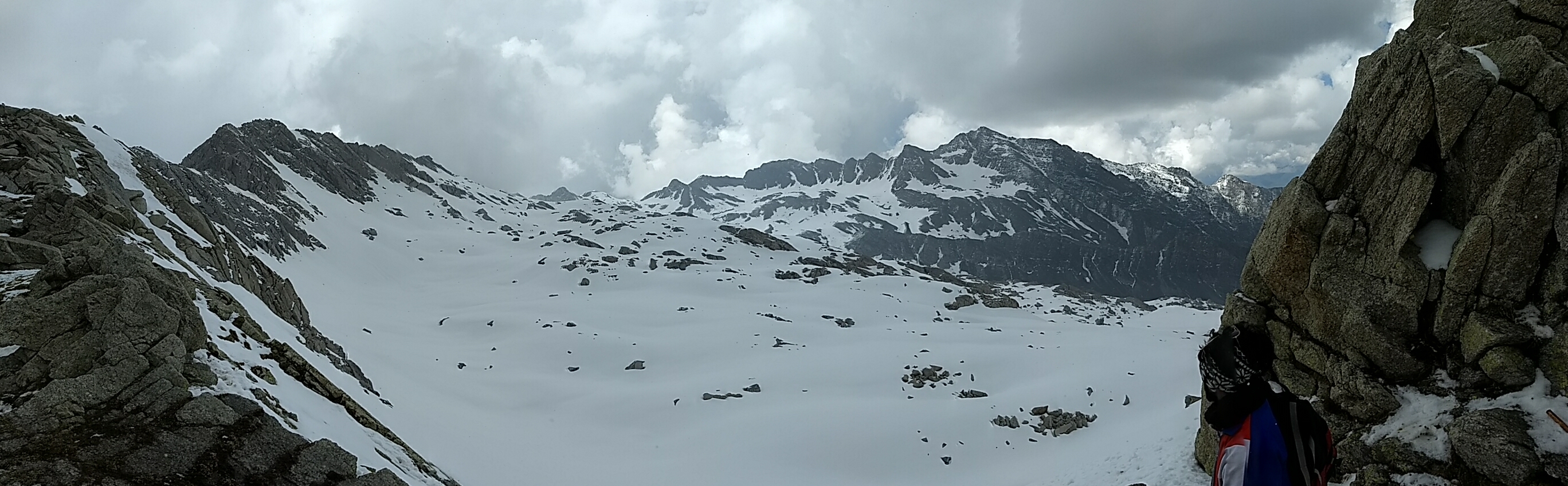
English: This panoramic view showing Chamba district,
It is an image of indrahar pass (pass means passage) ridge line Between two distinct of Himachal Pradesh that is Kangra and Chamba, this pass is used by local Gaddi Shepherds to cross between two districts |
| Date | |
| Source | Own work |
| Author | Vivek machra |
| Camera location | | View this and other nearby images on: OpenStreetMap |
|---|
It is nearest glacier trek of Himalayas in India This photo is taken at altitude of 4342 meters. Weather changes here every minute☺️
Licensing
[edit]
I, the copyright holder of this work, hereby publish it under the following license:
This file is licensed under the Creative Commons Attribution-Share Alike 4.0 International license.
- You are free:
- to share – to copy, distribute and transmit the work
- to remix – to adapt the work
- Under the following conditions:
- attribution – You must give appropriate credit, provide a link to the license, and indicate if changes were made. You may do so in any reasonable manner, but not in any way that suggests the licensor endorses you or your use.
- share alike – If you remix, transform, or build upon the material, you must distribute your contributions under the same or compatible license as the original.
This image was uploaded as part of Wiki Loves Earth 2017.
|
 |
File history
Click on a date/time to view the file as it appeared at that time.
| Date/Time | Thumbnail | Dimensions | User | Comment | |
|---|---|---|---|---|---|
| current | 11:45, 18 June 2017 | 2,736 × 848 (1.46 MB) | Vivek machra (talk | contribs) | User created page with UploadWizard |
You cannot overwrite this file.
File usage on Commons
The following page uses this file: