File:Rheinperle Deichscharte zu o.jpg
Jump to navigation
Jump to search

Size of this preview: 450 × 600 pixels. Other resolutions: 180 × 240 pixels | 360 × 480 pixels | 576 × 768 pixels | 768 × 1,024 pixels | 1,512 × 2,016 pixels.
Original file (1,512 × 2,016 pixels, file size: 292 KB, MIME type: image/jpeg)
Captions
Captions
Add a one-line explanation of what this file represents
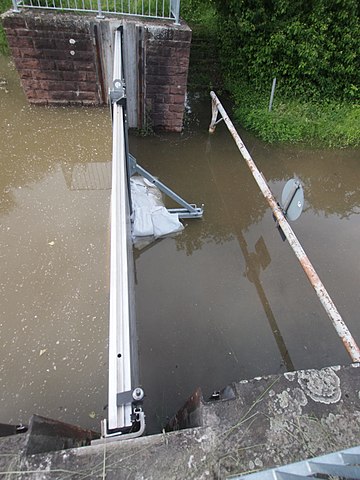
| Description | Verschlossene Deichscharte am Pionierhafen in Karlsruhe |
| Date | |
| Source | Own work |
| Author | Ikar.us (talk) |
| Permission (Reusing this file) |
I, the copyright holder of this work, hereby publish it under the following license: This file is licensed under the Creative Commons Attribution 3.0 Germany license.
 |
| Other versions |
|


| Camera location | | View this and other nearby images on: OpenStreetMap |
|---|
File history
Click on a date/time to view the file as it appeared at that time.
| Date/Time | Thumbnail | Dimensions | User | Comment | |
|---|---|---|---|---|---|
| current | 12:52, 3 June 2013 | | 1,512 × 2,016 (292 KB) | Ikar.us (talk | contribs) | {{Information |Description=Verschlossene Deichscharte am Pionierhafen in Karlsruhe |Source={{own}} |Date=2013-06-02 |Author=~~~ |Permission={{self|cc-by-3.0-de}} |thumb|side view }}{{Location dec|49.04660|8.311... |
You cannot overwrite this file.
File usage on Commons
The following 3 pages use this file:
File usage on other wikis
The following other wikis use this file:
- Usage on en.wikipedia.org