File:Relief map of Italien Abruzzen.png
Jump to navigation
Jump to search

Size of this preview: 651 × 600 pixels. Other resolutions: 260 × 240 pixels | 521 × 480 pixels | 833 × 768 pixels | 1,111 × 1,024 pixels | 2,167 × 1,997 pixels.
Original file (2,167 × 1,997 pixels, file size: 4.62 MB, MIME type: image/png)
Captions
Captions
Add a one-line explanation of what this file represents
Summary
[edit]
| Description |
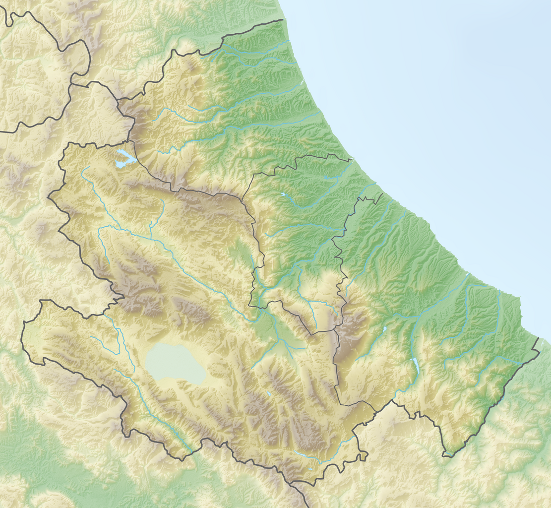
Deutsch: Positionskarte von Abruzzo (Italien) English: Location map of Abruzzo region (Italy) Español: Mapa de localización de la Región de Abruzzo (Italia).
Equirectangular projection, N/S stretching 115 %. Geographic limits of the map:
|
| Date | |
| Source | {Own work |
| Author | Tschubby |
Licensing
[edit]
I, the copyright holder of this work, hereby publish it under the following licenses:

|
Permission is granted to copy, distribute and/or modify this document under the terms of the GNU Free Documentation License, Version 1.2 or any later version published by the Free Software Foundation; with no Invariant Sections, no Front-Cover Texts, and no Back-Cover Texts. A copy of the license is included in the section entitled GNU Free Documentation License. |
This file is licensed under the Creative Commons Attribution-Share Alike 3.0 Unported license.
- You are free:
- to share – to copy, distribute and transmit the work
- to remix – to adapt the work
- Under the following conditions:
- attribution – You must give appropriate credit, provide a link to the license, and indicate if changes were made. You may do so in any reasonable manner, but not in any way that suggests the licensor endorses you or your use.
- share alike – If you remix, transform, or build upon the material, you must distribute your contributions under the same or compatible license as the original.
You may select the license of your choice.
File history
Click on a date/time to view the file as it appeared at that time.
| Date/Time | Thumbnail | Dimensions | User | Comment | |
|---|---|---|---|---|---|
| current | 14:03, 19 August 2019 | | 2,167 × 1,997 (4.62 MB) | Toghrul R (talk | contribs) | aspect ratio fix to match svg version |
| 12:41, 8 March 2019 |  | 2,167 × 2,038 (4.57 MB) | Tschubby (talk | contribs) | =={{int:filedesc}}== {{Information |description={{de|Positionskarte von Abruzzo (Italien)}}{{en|Location map of Abruzzo region (Italy)}}{{es|1=Mapa de localización de la Región de Abruzzo (Italia).}} Equirectangular projection, N/S stretching 115 %. Geographic limits of the map: * N: 42.93535555° N * S: 41.64132499° N * W: 12.95345° E * E: 14.82774444° E Topographischer Hintergrund: [http://www2.jpl.nasa.gov/srtm NASA Shuttle Radar Topography Mis... |
You cannot overwrite this file.
File usage on Commons
The following 3 pages use this file:
File usage on other wikis
The following other wikis use this file:
- Usage on als.wikipedia.org
- Usage on be.wikipedia.org
- Usage on bg.wikipedia.org
- Чита Сант'Анджело
- Киети
- Сулмона
- Атри
- Мартинсикуро
- Акуила
- Авецано
- Терамо
- Пескара
- Корфинио
- Шаблон:ПК Италия Абруцо
- Ланчано
- Васто
- Ортона
- Атеса
- Розето дели Абруци
- Джулианова
- Силви
- Пинето
- Алба Адриатика
- Торторето
- Сант'Еджидио ала Вибрата
- Мошано Сант'Анджело
- Монторио ал Вомано
- Кастелалто
- Кампли
- Беланте
- Нотареско
- Сант'Омеро
- Чивитела дел Тронто
- Нерето
- Корополи
- Изола дел Гран Сасо д'Италия
- Колонела
- Моро д'Оро
- Торичела Сикура
- Челино Атаназио
- Башано
- Анкарано
- Арсита
- Бизенти
- Вале Кастелана
- Канцано
- Кастел Кастаня
- Кастели
- Кастиленти
- Кастильоне Месер Раймондо
View more global usage of this file.