File:Relief Map of Komi Republic.png
Jump to navigation
Jump to search
Size of this preview: 582 × 600 pixels. Other resolutions: 233 × 240 pixels | 619 × 638 pixels.
Original file (619 × 638 pixels, file size: 854 KB, MIME type: image/png)
Captions
Captions
Add a one-line explanation of what this file represents
Summary
[edit]| Description |
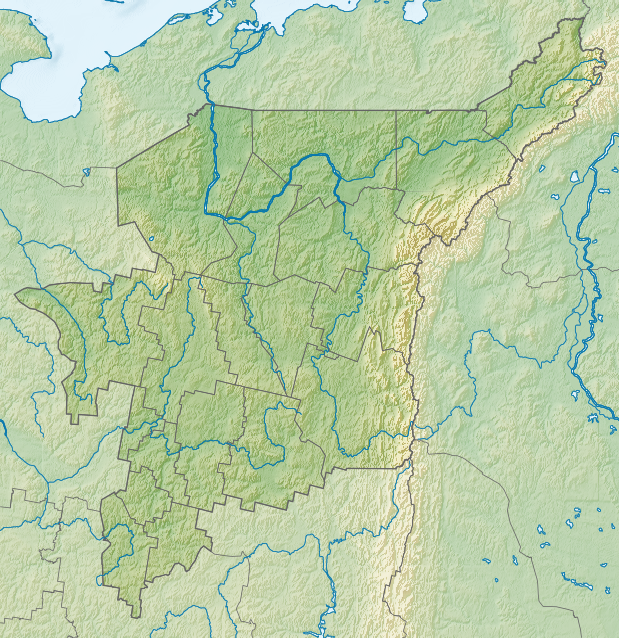
Русский: Республика Коми (Россия), физическая карта.
|
| Date | |
| Source |
|
| Author | Nzeemin |
| Other versions |
|

Licensing
[edit]
| Description |
This map was created from OpenStreetMap project data, collected by the community. This map may be incomplete, and may contain errors. Don't rely solely on it for navigation. |
| Date | (see file history) |
| Source | openstreetmap.org |
| Creator |
OpenStreetMap contributors |
| Permission (Reusing this file) |
OpenStreetMap data and maps are licensed under the Creative Commons Attribution-ShareAlike 2.0 license (CC-BY-SA 2.0). This file is licensed under the Creative Commons Attribution-Share Alike 2.0 Generic license.
|
| Georeferencing | If inappropriate please set warp_status = skip to hide. |
File history
Click on a date/time to view the file as it appeared at that time.
| Date/Time | Thumbnail | Dimensions | User | Comment | |
|---|---|---|---|---|---|
| current | 18:51, 20 February 2012 | | 619 × 638 (854 KB) | Nzeemin (talk | contribs) | plus bathymetry |
| 19:00, 19 February 2012 |  | 619 × 638 (741 KB) | Nzeemin (talk | contribs) |
You cannot overwrite this file.
File usage on Commons
The following page uses this file:
File usage on other wikis
The following other wikis use this file:
- Usage on ast.wikipedia.org
- Usage on az.wikipedia.org
- Usage on ba.wikipedia.org
- Usage on be.wikipedia.org
- Usage on bg.wikipedia.org
- Сиктивкар
- Усогорск
- Печора (река)
- Печора (град)
- Междуреченск (Коми)
- Благоево (Удорски район)
- Шаблон:ПК Русия Коми
- Воркута
- Инта
- Усинск
- Ухта
- Сосногорск
- Халмер-Ю
- Ярега
- Воргашор
- Уса (приток на Печора)
- Колва (приток на Уса)
- Ижма (приток на Печора)
- Вичегда
- Микун
- Кослан
- Верхнемезенск
- Вуктил
- Емва
- Народная (връх)
View more global usage of this file.