File:Regionen Lettlands.PNG
Jump to navigation
Jump to search
No higher resolution available.
Regionen_Lettlands.PNG (600 × 370 pixels, file size: 30 KB, MIME type: image/png)
Captions
Captions
Add a one-line explanation of what this file represents

|
This locator map image could be re-created using vector graphics as an SVG file. This has several advantages; see Commons:Media for cleanup for more information. If an SVG form of this image is available, please upload it and afterwards replace this template with
{{vector version available|new image name}}.
It is recommended to name the SVG file “Regionen Lettlands.svg”—then the template Vector version available (or Vva) does not need the new image name parameter. |
Summary
[edit]| Description |
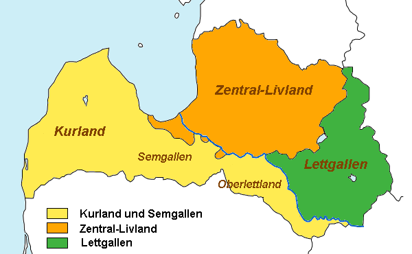
Deutsch: Karte der Historischen Regionen von Lettland. (Deutsche Version)
Română: Regiunile istorice ale Letoniei, împreună cu grupurile culturale letone (versiunea germană); |
||
| Date | |||
| Source | Image:Latvian regions and latvians.png | ||
| Author | User:vulpes vulpes | ||
| Permission (Reusing this file) |
|
||
| Other versions |
|
.png)

File history
Click on a date/time to view the file as it appeared at that time.
| Date/Time | Thumbnail | Dimensions | User | Comment | |
|---|---|---|---|---|---|
| current | 08:55, 10 July 2007 | | 600 × 370 (30 KB) | Alma (talk | contribs) | {{Information |Description=Karte der Historischen Regionen von Lettland. (Deutsche Version) |Source=Image:Latvian regions and latvians.png |Date=2006-10-18 |Author=User:vulpes vulpes |Permission={{PD-self}} |other_versions= }} [[Category:Maps |
You cannot overwrite this file.
File usage on Commons
The following 2 pages use this file:
File usage on other wikis
The following other wikis use this file:
- Usage on br.wikipedia.org
- Usage on de.wikipedia.org
- Usage on hsb.wikipedia.org
- Usage on no.wikipedia.org
- Usage on sl.wikipedia.org