File:Regional map of Qatar.svg
Jump to navigation
Jump to search

Size of this PNG preview of this SVG file: 800 × 566 pixels. Other resolutions: 320 × 226 pixels | 640 × 453 pixels | 1,024 × 724 pixels | 1,280 × 905 pixels | 2,560 × 1,810 pixels | 1,052 × 744 pixels.
Original file (SVG file, nominally 1,052 × 744 pixels, file size: 1.32 MB)
Captions
Captions
Add a one-line explanation of what this file represents
Summary
[edit]
| Description |
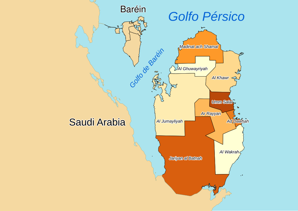
Español: Mapa regional de Catar.
English: Regional map of Qatar.
Português: Mapa regional de Catar. |
| Date | |
| Source |
Own work using:
|
| Author | Ivanhercaz |
Licensing
[edit]
I, Iván Hernández Cazorla, have published this work under the terms of the license CC BY-SA 4.0, which allow you use and share this work, and create derivative works; under the condition of give me credit of the work using the same license. For that, please, add legibly:
Use this work in compliance with the terms of the license! If you use this work outside of the Wikimedia Projects, you can contact with me sending an email to I, the copyright holder of this work, hereby publish it under the following license: This file is licensed under the Creative Commons Attribution-Share Alike 4.0 International license.
|
File history
Click on a date/time to view the file as it appeared at that time.
| Date/Time | Thumbnail | Dimensions | User | Comment | |
|---|---|---|---|---|---|
| current | 21:37, 12 April 2017 | | 1,052 × 744 (1.32 MB) | Ivanhercaz (talk | contribs) | Improving map. |
| 21:15, 12 April 2017 |  | 1,052 × 744 (1.28 MB) | Ivanhercaz (talk | contribs) | User created page with UploadWizard |
You cannot overwrite this file.
File usage on Commons
The following 2 pages use this file:
- File:Catar.svg (file redirect)
- File:Regional map of Qatar (cropped).svg
.svg)
File usage on other wikis
The following other wikis use this file:
- Usage on es.wikipedia.org