File:Red-crested Korhaan 2373303625.jpg
From Wikimedia Commons, the free media repository
Jump to navigation
Jump to search
Size of this preview: 800 × 531 pixels. Other resolutions: 320 × 212 pixels | 640 × 425 pixels | 1,024 × 680 pixels | 1,280 × 850 pixels | 2,560 × 1,700 pixels | 3,363 × 2,233 pixels.
Original file (3,363 × 2,233 pixels, file size: 2.27 MB, MIME type: image/jpeg)
File information
Structured data
Captions
Camera location | 24° 04′ 42.84″ S, 31° 41′ 24.66″ E | View this and other nearby images on: OpenStreetMap | -24.078567; 31.690182 |
---|
DescriptionRed-crested Korhaan 2373303625.jpg |
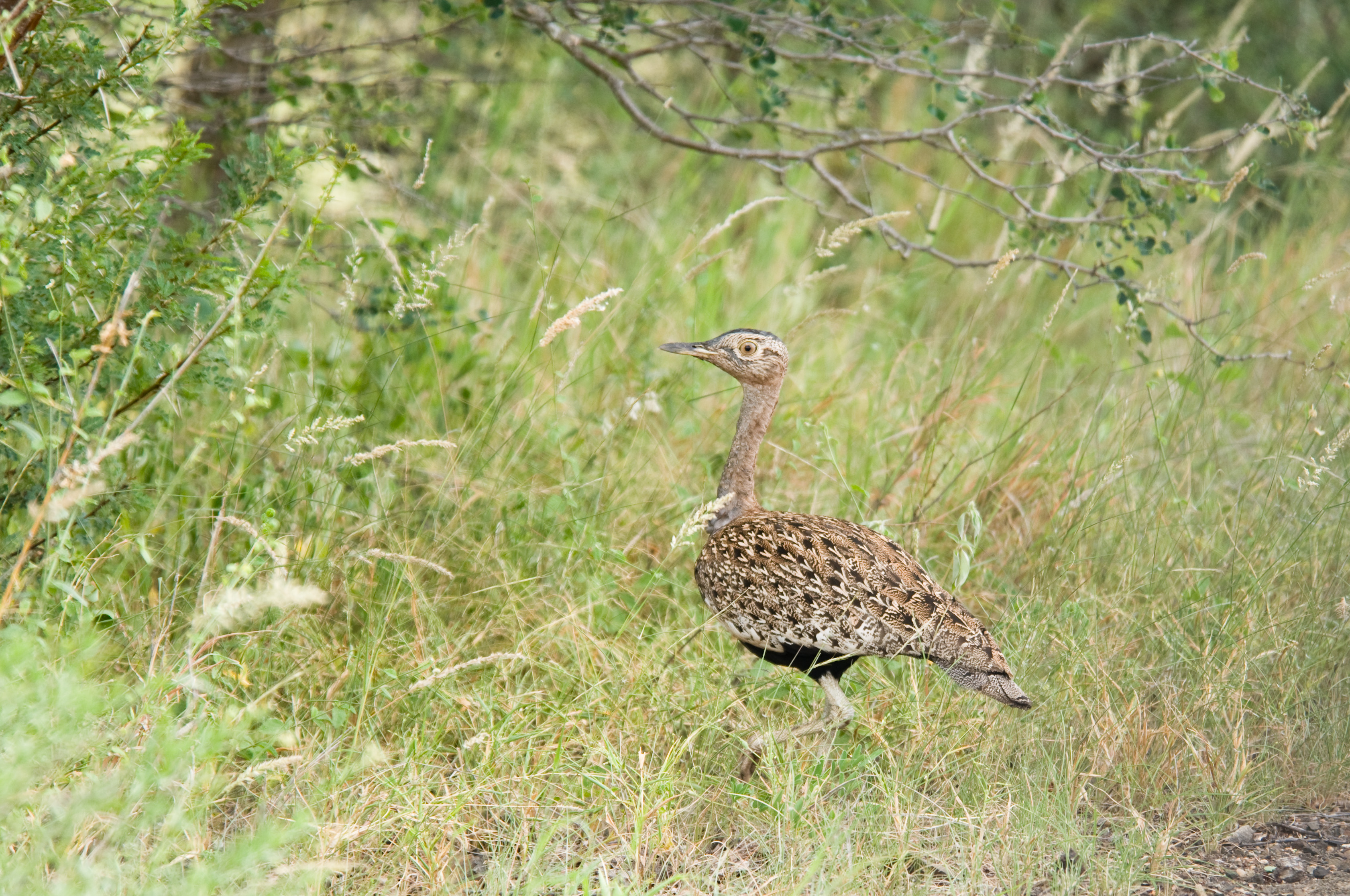
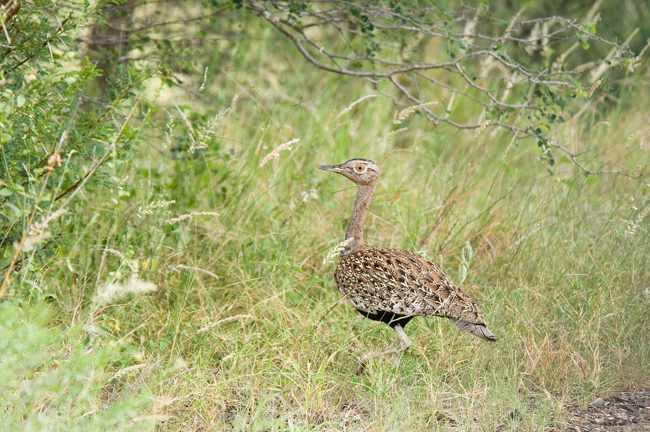
Afrikaans: 'n Boskorhaan-mannetjie naby die Olifantsrivier, noordelike Mpumalanga, Nasionale Krugerwildtuin
English: A male Red-crested korhaan near the Olifants river, northern Mpumalanga, Kruger National Park |
||
Date | |||
Source | originally posted to Flickr as Red-crested Korhaan | ||
Author | Chris Eason | ||
Permission (Reusing this file) |
This file is licensed under the Creative Commons Attribution 2.0 Generic license.
|
||
Other versions | Derivative works of this file: Lophotis ruficrista 1.jpg |
File history
Click on a date/time to view the file as it appeared at that time.
Date/Time | Thumbnail | Dimensions | User | Comment | |
---|---|---|---|---|---|
current | 02:49, 29 May 2008 | 3,363 × 2,233 (2.27 MB) | Flickr upload bot (talk | contribs) | Uploaded from http://flickr.com/photo/45189308@N00/2373303625 using Flickr upload bot |
You cannot overwrite this file.
File usage on Commons
The following page uses this file:
File usage on other wikis
The following other wikis use this file:
- Usage on ceb.wikipedia.org
- Usage on de.wikipedia.org
- Usage on fa.wikipedia.org
- Usage on fi.wikipedia.org
- Usage on pt.wikipedia.org
- Usage on uk.wikipedia.org
- Usage on vi.wikipedia.org
- Usage on war.wikipedia.org
Metadata
This file contains additional information such as Exif metadata which may have been added by the digital camera, scanner, or software program used to create or digitize it. If the file has been modified from its original state, some details such as the timestamp may not fully reflect those of the original file. The timestamp is only as accurate as the clock in the camera, and it may be completely wrong.
Camera manufacturer | NIKON CORPORATION |
---|---|
Camera model | NIKON D300 |
Exposure time | 1/200 sec (0.005) |
F-number | f/5.6 |
ISO speed rating | 200 |
Date and time of data generation | 11:11, 30 January 2008 |
Lens focal length | 250 mm |
Latitude | 24° 4′ 42.84″ S |
Longitude | 31° 41′ 24.66″ E |
Altitude | 234.312 meters above sea level |
Label | Purple |
Horizontal resolution | 240 dpi |
Vertical resolution | 240 dpi |
Software used | RoboGEO v5.3.4 |
File change date and time | 15:24, 30 March 2008 |
Exposure Program | Normal program |
Exif version | 2.21 |
Date and time of digitizing | 11:11, 30 January 2008 |
APEX shutter speed | 7.643856 |
APEX aperture | 4.970854 |
APEX exposure bias | 0 |
Maximum land aperture | 4.8 APEX (f/5.28) |
Metering mode | Pattern |
Light source | Unknown |
Flash | Flash did not fire |
DateTimeOriginal subseconds | 34 |
DateTimeDigitized subseconds | 34 |
Sensing method | One-chip color area sensor |
File source | Digital still camera |
Scene type | A directly photographed image |
Custom image processing | Normal process |
Exposure mode | Auto exposure |
White balance | Auto white balance |
Digital zoom ratio | 1 |
Focal length in 35 mm film | 375 mm |
Scene capture type | Standard |
Scene control | None |
Contrast | Normal |
Saturation | Normal |
Sharpness | Normal |
Subject distance range | Unknown |
GPS time (atomic clock) | 09:11 |
Geodetic survey data used | WGS 1984 |
GPS date | 30 January 2008 |
GPS tag version | 0.0.2.2 |
Width | 3,363 px |
Height | 2,233 px |
Lens used | 80.0-400.0 mm f/4.5-5.6 |
Keywords |
|
IIM version | 2 |