File:Rastrick Cemetery,Carr Green Lane, Rastrick, Yorkshire - geograph.org.uk - 126374.jpg
Jump to navigation
Jump to search
No higher resolution available.
Rastrick_Cemetery,Carr_Green_Lane,_Rastrick,_Yorkshire_-_geograph.org.uk_-_126374.jpg (640 × 472 pixels, file size: 90 KB, MIME type: image/jpeg)
Captions
Captions
Add a one-line explanation of what this file represents
Summary
[edit]
| Description |
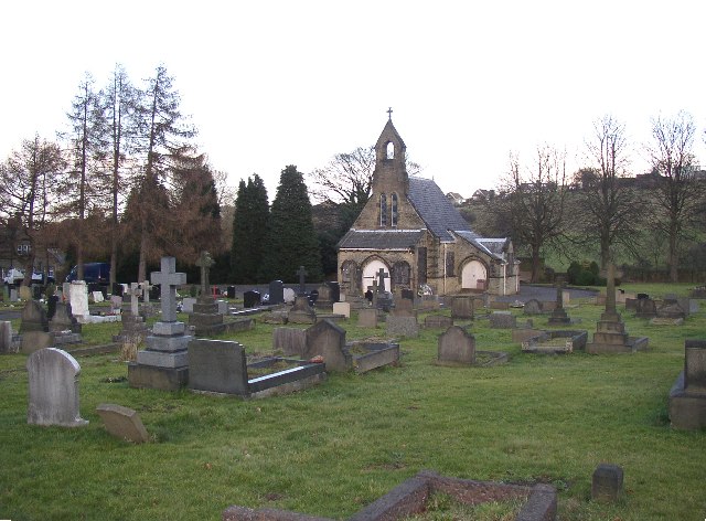
English: Rastrick Cemetery,Carr Green Lane, Rastrick, Yorkshire. Rastrick Cemetery, Carr Green Lane, Rastrick, Yorkshire - This cemetery is well kept, although it a pity that the windows of the chapel have to be boarded-up. In 1881 the Rastrick churchyard was becoming full, and the Rastrick Burial Board was constituted to deal with the problem. Six acres of land at Carr Green was purchased, and the cemetery was completed in 1883. |
| Date | |
| Source | From geograph.org.uk |
| Author | Humphrey Bolton |
| Attribution (required by the license) | Humphrey Bolton / Rastrick Cemetery,Carr Green Lane, Rastrick, Yorkshire / |
| Object location | | View this and other nearby images on: OpenStreetMap |
|---|
_heading:67.00&language=en)
Licensing
[edit]

|
This image was taken from the Geograph project collection. See this photograph's page on the Geograph website for the photographer's contact details. The copyright on this image is owned by Humphrey Bolton and is licensed for reuse under the Creative Commons Attribution-ShareAlike 2.0 license.
|
This file is licensed under the Creative Commons Attribution-Share Alike 2.0 Generic license.
Attribution: Humphrey Bolton
- You are free:
- to share – to copy, distribute and transmit the work
- to remix – to adapt the work
- Under the following conditions:
- attribution – You must give appropriate credit, provide a link to the license, and indicate if changes were made. You may do so in any reasonable manner, but not in any way that suggests the licensor endorses you or your use.
- share alike – If you remix, transform, or build upon the material, you must distribute your contributions under the same or compatible license as the original.
File history
Click on a date/time to view the file as it appeared at that time.
| Date/Time | Thumbnail | Dimensions | User | Comment | |
|---|---|---|---|---|---|
| current | 04:22, 31 January 2010 | | 640 × 472 (90 KB) | GeographBot (talk | contribs) | == {{int:filedesc}} == {{Information |description={{en|1=Rastrick Cemetery,Carr Green Lane, Rastrick, Yorkshire. Rastrick Cemetery, Carr Green Lane, Rastrick, Yorkshire - This cemetery is well kept, although it a pity that the windows of the chapel have t |
You cannot overwrite this file.
File usage on Commons
There are no pages that use this file.