File:Randers Amt east.jpg
Jump to navigation
Jump to search

Size of this preview: 501 × 600 pixels. Other resolutions: 200 × 240 pixels | 401 × 480 pixels | 641 × 768 pixels | 855 × 1,024 pixels | 1,710 × 2,048 pixels | 4,616 × 5,528 pixels.
Original file (4,616 × 5,528 pixels, file size: 10.51 MB, MIME type: image/jpeg)
Captions
Captions
Add a one-line explanation of what this file represents
| Description |
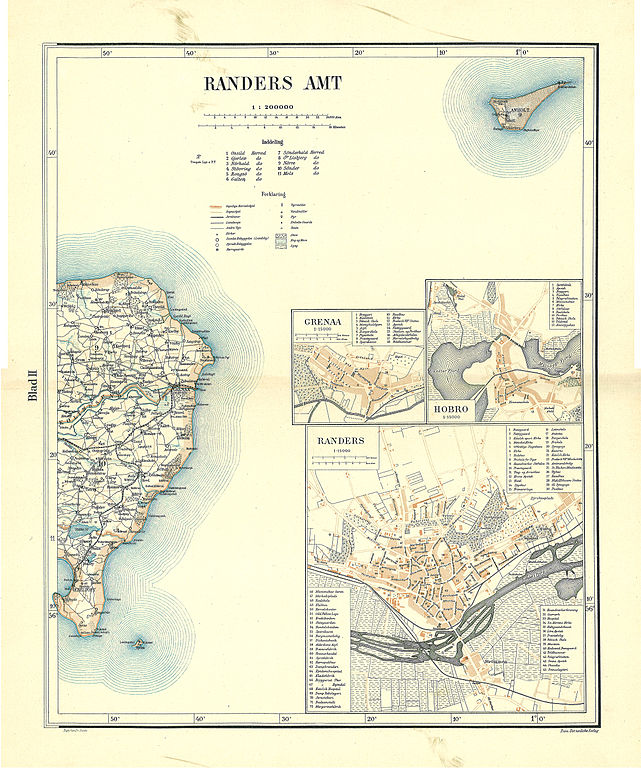
Dansk: Kort over den østlige del af Randers Amt
English: Map of the eastern part of Randers County in Denmark |
||||
| Date | circa 1900 | ||||
| Source | Frems Amtskort over Danmark | ||||
| Author | Fotolitograferede i Generalstabens Topografiske Afdeling | ||||
| Permission (Reusing this file) |
|
||||
| Other versions | da:Randers Amt | ||||
File history
Click on a date/time to view the file as it appeared at that time.
| Date/Time | Thumbnail | Dimensions | User | Comment | |
|---|---|---|---|---|---|
| current | 11:16, 18 January 2009 | | 4,616 × 5,528 (10.51 MB) | Nico-dk (talk | contribs) | {{Information |Description=da:Kort over den østlige del af Randers Amt<br/>en:Map of the eastern part of Randers County in Denmark |Source=''Frems Amtskort over Danmark'' |Date=ca. 1900 |Author= Fotolitograferede i Generalstabens Topografiske Afdeling |P |
You cannot overwrite this file.
File usage on Commons
The following 3 pages use this file:
File usage on other wikis
The following other wikis use this file:
- Usage on da.wikipedia.org
- Usage on de.wikipedia.org
- Usage on no.wikipedia.org