File:Ramal C13 • Estación Las Moras y puente sobre Río Chicoana.jpg
Jump to navigation
Jump to search

Size of this preview: 800 × 457 pixels. Other resolutions: 320 × 183 pixels | 640 × 365 pixels | 1,024 × 584 pixels | 1,614 × 921 pixels.
Original file (1,614 × 921 pixels, file size: 409 KB, MIME type: image/jpeg)
Captions
Captions
Add a one-line explanation of what this file represents
Summary
[edit]| Description |
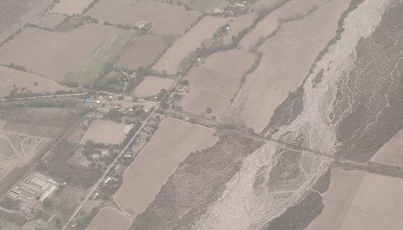
Español: vuelo de Aeroparque, Buenos Aires, a Salta; sentado al lado izquierdo del avión.
Se ve el pueblo de Las Moras, Provincia de Salta; entre el Ramal C13 del FFCC Belgrano y la RN 68; al lado del Río Chicoana. English: flight from Buenos Aires to Salta, Argentina; looking out of a window on the left |
| Date | |
| Source | Own work |
| Author | Geogast |
| Other versions | |
| OpenStreetMap | Way 123611526 |
_a_Salta_(SLA)_%E2%80%A2_37_%E2%80%A2_descenso_a_Salta_desde_el_sur.jpg)
| Object location | | View this and other nearby images on: OpenStreetMap |
|---|
| Camera location | | View this and other nearby images on: OpenStreetMap |
|---|
|
English: This photograph was taken by Geogast and released under the license CC-BY-4.0. For details look here.
Additionally to the rights granted by this license I allow anyone to derive information from the photograph and add it to the OpenStreetMap database; in this case attribution is not necessary. |
Licensing
[edit]
I, the copyright holder of this work, hereby publish it under the following license:
This file is licensed under the Creative Commons Attribution 4.0 International license.
- You are free:
- to share – to copy, distribute and transmit the work
- to remix – to adapt the work
- Under the following conditions:
- attribution – You must give appropriate credit, provide a link to the license, and indicate if changes were made. You may do so in any reasonable manner, but not in any way that suggests the licensor endorses you or your use.
| Annotations | This image is annotated: View the annotations at Commons |
File history
Click on a date/time to view the file as it appeared at that time.
| Date/Time | Thumbnail | Dimensions | User | Comment | |
|---|---|---|---|---|---|
| current | 18:55, 17 April 2024 | | 1,614 × 921 (409 KB) | Geogast (talk | contribs) | File:Vuelo Buenos Aires (Aeroparque, AEP) a Salta (SLA) • 37 • descenso a Salta desde el sur.jpg cropped 60 % horizontally, 69 % vertically using CropTool with lossless mode. |
You cannot overwrite this file.
File usage on Commons
The following 2 pages use this file:
File usage on other wikis
The following other wikis use this file:
- Usage on es.wikipedia.org
- Usage on www.wikidata.org