File:Raleigh County, West Virginia - 1-100 000-scale topographic map LOC 96680318.jpg
Jump to navigation
Jump to search

Size of this preview: 800 × 536 pixels. Other resolutions: 320 × 215 pixels | 640 × 429 pixels | 1,024 × 687 pixels | 1,280 × 858 pixels | 2,560 × 1,717 pixels | 10,890 × 7,302 pixels.
Original file (10,890 × 7,302 pixels, file size: 17.01 MB, MIME type: image/jpeg)
Captions
Captions
Add a one-line explanation of what this file represents
Summary
[edit]| Warning | The original file is very high-resolution. It might not load properly or could cause your browser to freeze when opened at full size. |
|---|
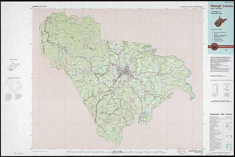
| Description |
English: "Map edited 1988." Relief shown by contours and spot heights. Includes location map, index to 24,000-scale maps, and conversion table. "37081-G2-CF-100." Available also through the Library of Congress Web site as a raster image. |
||
| Title | Raleigh County, West Virginia : 1:100 000-scale topographic map | ||
| Shelf ID | G3893.R3 1988 .G4 | ||
| Date | |||
| Source | https://www.loc.gov/item/96680318/ | ||
| Author | Geological Survey (U.S.) | ||
| Permission (Reusing this file) |
|
||
| Other versions |
|
||
| Location | United States · Raleigh County · West Virginia | ||
| Part of | American Memory · General Maps · Catalog · Geography And Map Division | ||
| Subject | United States · Raleigh County (W. Va.) · Raleigh County · Maps, Topographic · West Virginia |


Licensing
[edit]
| This work is from the Library of Congress. According to the library, there are no known copyright restrictions on the use of this work. |  |
File history
Click on a date/time to view the file as it appeared at that time.
| Date/Time | Thumbnail | Dimensions | User | Comment | |
|---|---|---|---|---|---|
| current | 00:53, 14 June 2018 | | 10,890 × 7,302 (17.01 MB) | Fæ (talk | contribs) | LOC Maps https://www.loc.gov/item/96680318/ #14722 |
You cannot overwrite this file.
File usage on Commons
The following page uses this file: