File:Rainfall map over the British Isles for the period 2015-11-30 to 2015-12-07.gif
Jump to navigation
Jump to search
No higher resolution available.
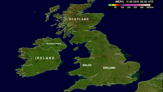
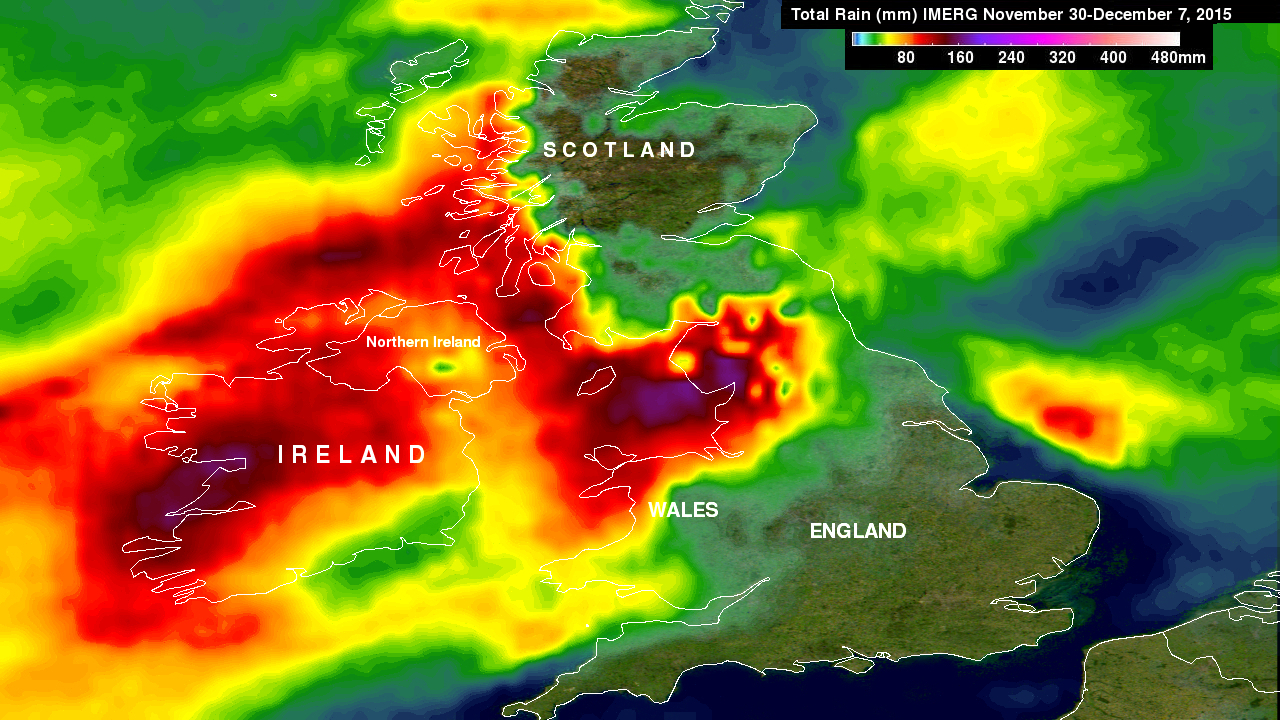
Rainfall_map_over_the_British_Isles_for_the_period_2015-11-30_to_2015-12-07.gif (320 × 180 pixels, file size: 2.1 MB, MIME type: image/gif, looped, 146 frames, 12 s)
Captions
Captions
Add a one-line explanation of what this file represents
Summary
[edit]| Description |
English: Animated map of the British Isles showing the total rainfall accumulating (in mm) for the period 2015-11-30 to 2015-12-07. This is related to the flooding caused by Storm Desmond on 5-6 December 2015. |
| Date | |
| Source | http://pmm.nasa.gov/sites/default/files/TRMM_News_2015/england_rain_30nov-7dec15.jpg |
| Author | NASA |
| Other versions |
|

Licensing
[edit]
| This file is in the public domain in the United States because it was solely created by NASA. NASA copyright policy states that "NASA material is not protected by copyright unless noted". (See Template:PD-USGov, NASA copyright policy page or JPL Image Use Policy.) | ||
 |
Warnings:
|
File history
Click on a date/time to view the file as it appeared at that time.
| Date/Time | Thumbnail | Dimensions | User | Comment | |
|---|---|---|---|---|---|
| current | 02:33, 10 December 2015 | | 320 × 180 (2.1 MB) | Jolly Janner (talk | contribs) | =={{int:filedesc}}== {{Information |description={{en|1=Animated map of the British Isles showing the total rainfall accumulating (in mm) for the period 2015-11-30 to 2015-12-07. This is related to the flooding caused by [[:en:Storm Desmond|Storm Desmo... |
You cannot overwrite this file.
File usage on Commons
The following page uses this file: