File:Railway station in Liepieĺ. Лепель - panoramio.jpg
Jump to navigation
Jump to search
Size of this preview: 800 × 308 pixels. Other resolutions: 320 × 123 pixels | 1,200 × 462 pixels.
Original file (1,200 × 462 pixels, file size: 100 KB, MIME type: image/jpeg)
Captions
Captions
Add a one-line explanation of what this file represents
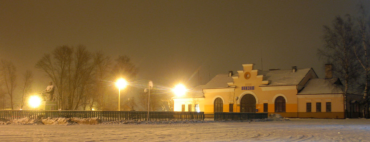
| Description | Railway station in Liepieĺ. Лепель | ||
| Date | 4 January 2009 (original upload date) | ||
| Source | https://web.archive.org/web/20161012101514/http://www.panoramio.com/photo/17490497 | ||
| Author | Andrej Kuźniečyk | ||
| Permission (Reusing this file) |
This file is licensed under the Creative Commons Attribution-Share Alike 3.0 Unported license. Attribution: Andrej Kuźniečyk
|
| Camera location | | View this and other nearby images on: OpenStreetMap |
|---|
File history
Click on a date/time to view the file as it appeared at that time.
| Date/Time | Thumbnail | Dimensions | User | Comment | |
|---|---|---|---|---|---|
| current | 14:31, 28 September 2016 | 1,200 × 462 (100 KB) | Panoramio upload bot (talk | contribs) | {{Information |description=Railway station in Liepieĺ. Лепель |date={{Original upload date|2009-01-04}} |source=http://www.panoramio.com/photo/17490497 |author=[http://www.panoramio.com/user/416171?with_photo_id=17490497 Andrej Kuźniečyk] |per... |
You cannot overwrite this file.
File usage on Commons
There are no pages that use this file.
File usage on other wikis
The following other wikis use this file:
- Usage on be.wikipedia.org
- Usage on pl.wikipedia.org
- Usage on ru.wikipedia.org
- Usage on www.wikidata.org