File:Rail road map of Ohio 1873. LOC 98688540.jpg
Jump to navigation
Jump to search

Size of this preview: 758 × 600 pixels. Other resolutions: 303 × 240 pixels | 607 × 480 pixels | 971 × 768 pixels | 1,280 × 1,013 pixels | 2,560 × 2,026 pixels | 6,288 × 4,976 pixels.
Original file (6,288 × 4,976 pixels, file size: 5.56 MB, MIME type: image/jpeg)
Captions
Captions
Add a one-line explanation of what this file represents
Summary
[edit]| Description |
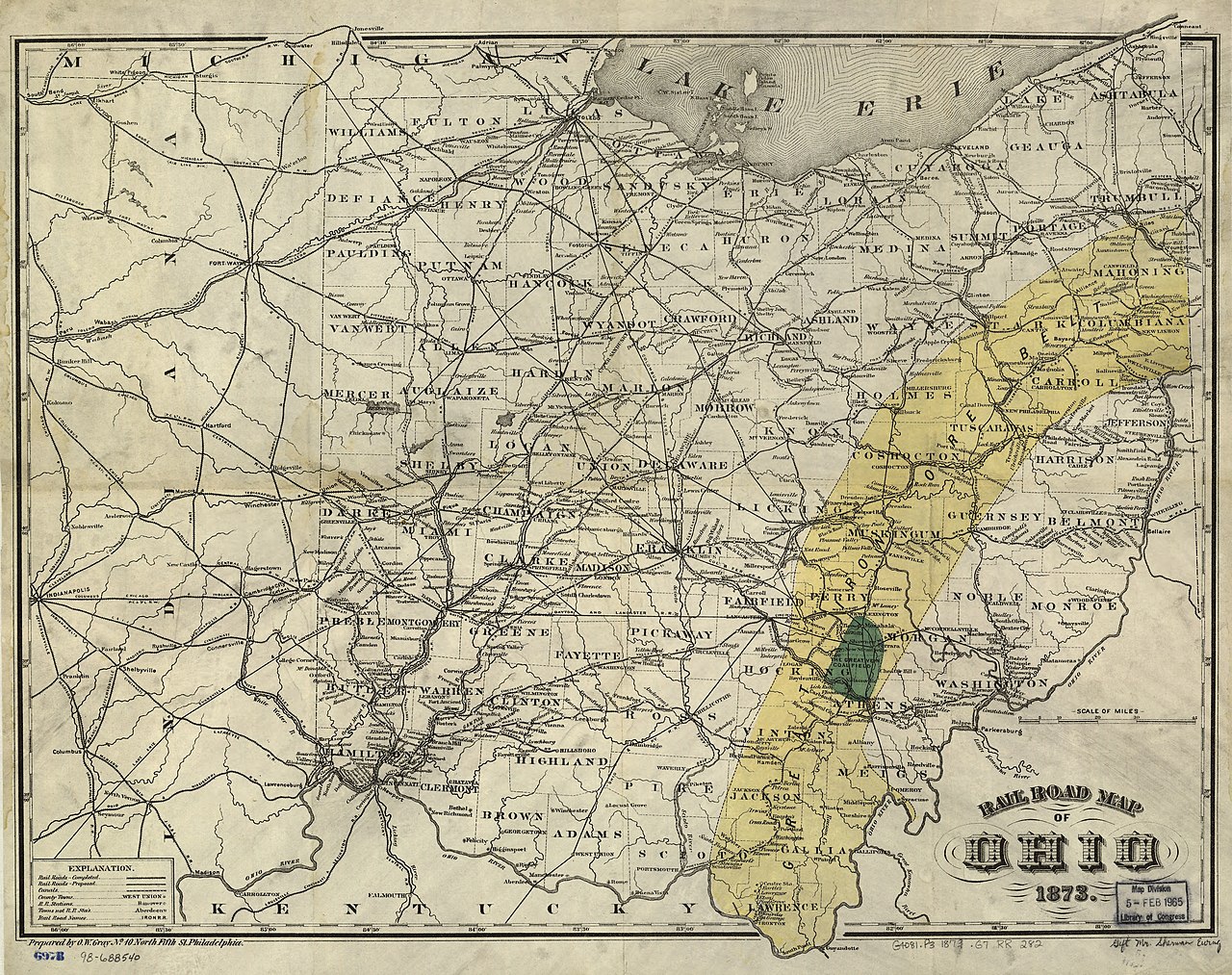
English: Shows drainage, iron ore and coal fields, counties, cities and towns, canals, and completed and proposed railroads with names along the lines. |
||
| Title | Rail road map of Ohio 1873. | ||
| Shelf ID | G4081.P3 1873 .G7 | ||
| Date | |||
| Source | https://www.loc.gov/item/98688540/ | ||
| Author | Gray, O. W. | ||
| Permission (Reusing this file) |
|
||
| Other versions |
|
||
| Location | United States · Ohio | ||
| Part of | American Memory · Catalog · Railroad Maps, 1828-1900 · Geography And Map Division · Transportation And Communication | ||
| Subject | United States · Ohio · Railroads · Maps |


Licensing
[edit]
|
This is a faithful photographic reproduction of a two-dimensional, public domain work of art. The work of art itself is in the public domain for the following reason:
The official position taken by the Wikimedia Foundation is that "faithful reproductions of two-dimensional public domain works of art are public domain".
This photographic reproduction is therefore also considered to be in the public domain in the United States. In other jurisdictions, re-use of this content may be restricted; see Reuse of PD-Art photographs for details. | ||||
File history
Click on a date/time to view the file as it appeared at that time.
| Date/Time | Thumbnail | Dimensions | User | Comment | |
|---|---|---|---|---|---|
| current | 23:14, 1 June 2018 | | 6,288 × 4,976 (5.56 MB) | Fæ (talk | contribs) | LOC Maps https://www.loc.gov/item/98688540/ #1909 |
You cannot overwrite this file.
File usage on Commons
The following page uses this file: