File:Radroutennetz Mecklenburg-Vorpommern Ohne Kartenhintergrund.png
Jump to navigation
Jump to search

Size of this preview: 734 × 599 pixels. Other resolutions: 294 × 240 pixels | 588 × 480 pixels | 940 × 768 pixels | 1,254 × 1,024 pixels | 1,413 × 1,154 pixels.
Original file (1,413 × 1,154 pixels, file size: 184 KB, MIME type: image/png)
Captions
Captions
Add a one-line explanation of what this file represents
Summary
[edit]
| Description |
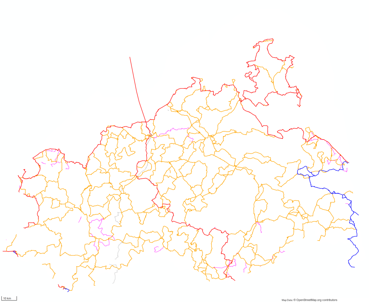
Deutsch: Visualisierung der in OpenStreetMap angelegten Radrouten für das Bundesland. Erstellt durch cmuelle8's Abfrage auf overpass-turbo.eu.
|
| Date | |
| Source | Own work |
| Author | Cmuelle8 |
| Permission (Reusing this file) |
Dieses Erzeugnis (Produced Work) basiert auf Kartendaten © OpenStreetMap Mitwirkende, verfügbar unter OdbL. (Details) |
| Other versions | File:Radroutennetz Mecklenburg-Vorpommern Dunkel.png, File:Radroutennetz Mecklenburg-Vorpommern Hell.png |
Licensing
[edit]
| I, the copyright holder of this work, release this work into the public domain. This applies worldwide. In some countries this may not be legally possible; if so: I grant anyone the right to use this work for any purpose, without any conditions, unless such conditions are required by law. |
File history
Click on a date/time to view the file as it appeared at that time.
| Date/Time | Thumbnail | Dimensions | User | Comment | |
|---|---|---|---|---|---|
| current | 09:39, 19 July 2014 | | 1,413 × 1,154 (184 KB) | Cmuelle8 (talk | contribs) | change license note in bitmap data as map tiles are not used this is freely redistributable, produced work under PD license .. |
| 05:41, 12 July 2014 |  | 1,413 × 1,154 (184 KB) | Cmuelle8 (talk | contribs) | User created page with UploadWizard |
You cannot overwrite this file.
File usage on Commons
There are no pages that use this file.