File:Radomyśl Wielki (gmina) location map.png
Original file (2,252 × 1,747 pixels, file size: 853 KB, MIME type: image/png)
Captions
Captions
Summary
[edit]_location_map.png&action=edit§ion=1)
| Description |
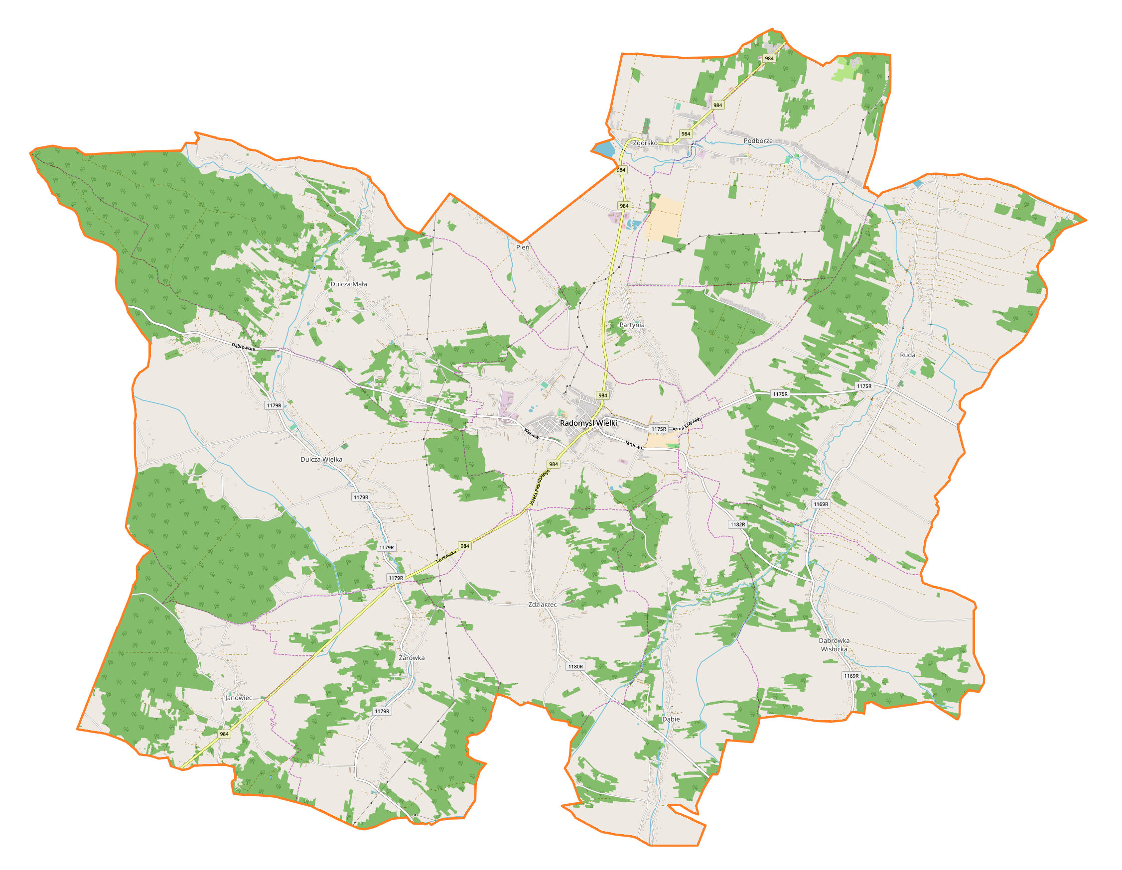
English: Location map |
| Date | |
| Source | Own work |
| Author | Smat |
| Description |
Polski: Mapa gminy Radomyśl Wielki, Polska
English: Map of Radomyśl Wielki (gmina), Poland |
|||||||||
| Date | ||||||||||
| Source | You may find a page on the OpenStreetMap wiki page for Radomyśl Wielki (gmina) | |||||||||
| Creator |
OpenStreetMap contributors OpenStreetMap contributors |
|||||||||
| Permission (Reusing this file) |
OpenStreetMap data is available under the Open Database License (details). Map tiles are licensed under the Creative Commons Attribution-ShareAlike 2.0 license (CC-BY-SA 2.0).
This file is licensed under the Creative Commons Attribution-Share Alike 2.0 Generic license.
|
|||||||||
| Geotemporal data | ||||||||||
| Bounding box |
|
|||||||||
| Georeferencing | If inappropriate please set warp_status = skip to hide. | |||||||||
Licensing
[edit]_location_map.png&action=edit§ion=2)
| This work contains information from OpenStreetMap, which is made available under the Open Database License (ODbL).
The ODbL does not require any particular license for maps produced from ODbL data. Prior to 1 August 2020, map tiles produced by the OpenStreetMap Foundation were licensed under the CC-BY-SA-2.0 license. Maps produced by other people may be subject to other licences. |
File history
Click on a date/time to view the file as it appeared at that time.
| Date/Time | Thumbnail | Dimensions | User | Comment | |
|---|---|---|---|---|---|
| current | 09:15, 30 July 2018 | | 2,252 × 1,747 (853 KB) | Smat (talk | contribs) | User created page with UploadWizard |
You cannot overwrite this file.
File usage on Commons
There are no pages that use this file.
File usage on other wikis
The following other wikis use this file:
- Usage on pl.wikipedia.org
- Radomyśl Wielki
- Dulcza Wielka
- Dulcza Mała
- Dąbrówka Wisłocka
- Partynia
- Zdziarzec
- Zgórsko (województwo podkarpackie)
- Żarówka (województwo podkarpackie)
- Dąbie (województwo podkarpackie)
- Janowiec (województwo podkarpackie)
- Pień (województwo podkarpackie)
- Podborze (województwo podkarpackie)
- Ruda (powiat mielecki)
- Stary cmentarz żydowski w Radomyślu Wielkim
- Parafia Przemienienia Pańskiego w Radomyślu Wielkim
- Nowy cmentarz żydowski w Radomyślu Wielkim
- Wilcza Wola (Zgórsko)
- Parafia Matki Bożej Szkaplerznej w Rudzie
- Parafia Matki Bożej Nieustającej Pomocy i św. Kazimierza w Dąbrówce Wisłockiej
- Parafia Wniebowzięcia Najświętszej Maryi Panny w Dulczy Małej
- Parafia Trójcy Przenajświętszej w Dulczy Wielkiej
- Parafia św. Jana Chrzciciela w Janowcu
- Parafia św. Mikołaja w Zgórsku
- Parafia Nawiedzenia Najświętszej Maryi Panny w Zdziarzcu
- Kościół Przemienienia Pańskiego w Radomyślu Wielkim
- Kościół Przemienienia Pańskiego i Najświętszej Maryi Panny w Radomyślu Wielkim
- Moduł:Mapa/dane/Radomyśl Wielki (gmina)
- Moduł:Mapa/dane/Radomyśl Wielki
- Wólka Dulecka
- Podlesie (Podborze)
- Usage on pl.wikibooks.org
_location_map.png&oldid=720282353)