File:Radially concentric created streets in Washington, D.C..svg
Jump to navigation
Jump to search

Size of this PNG preview of this SVG file: 800 × 541 pixels. Other resolutions: 320 × 216 pixels | 640 × 433 pixels | 1,024 × 692 pixels | 1,280 × 865 pixels | 2,560 × 1,730 pixels | 1,799 × 1,216 pixels.
Original file (SVG file, nominally 1,799 × 1,216 pixels, file size: 12.7 MB)
Captions
Captions
Add a one-line explanation of what this file represents
| Description |
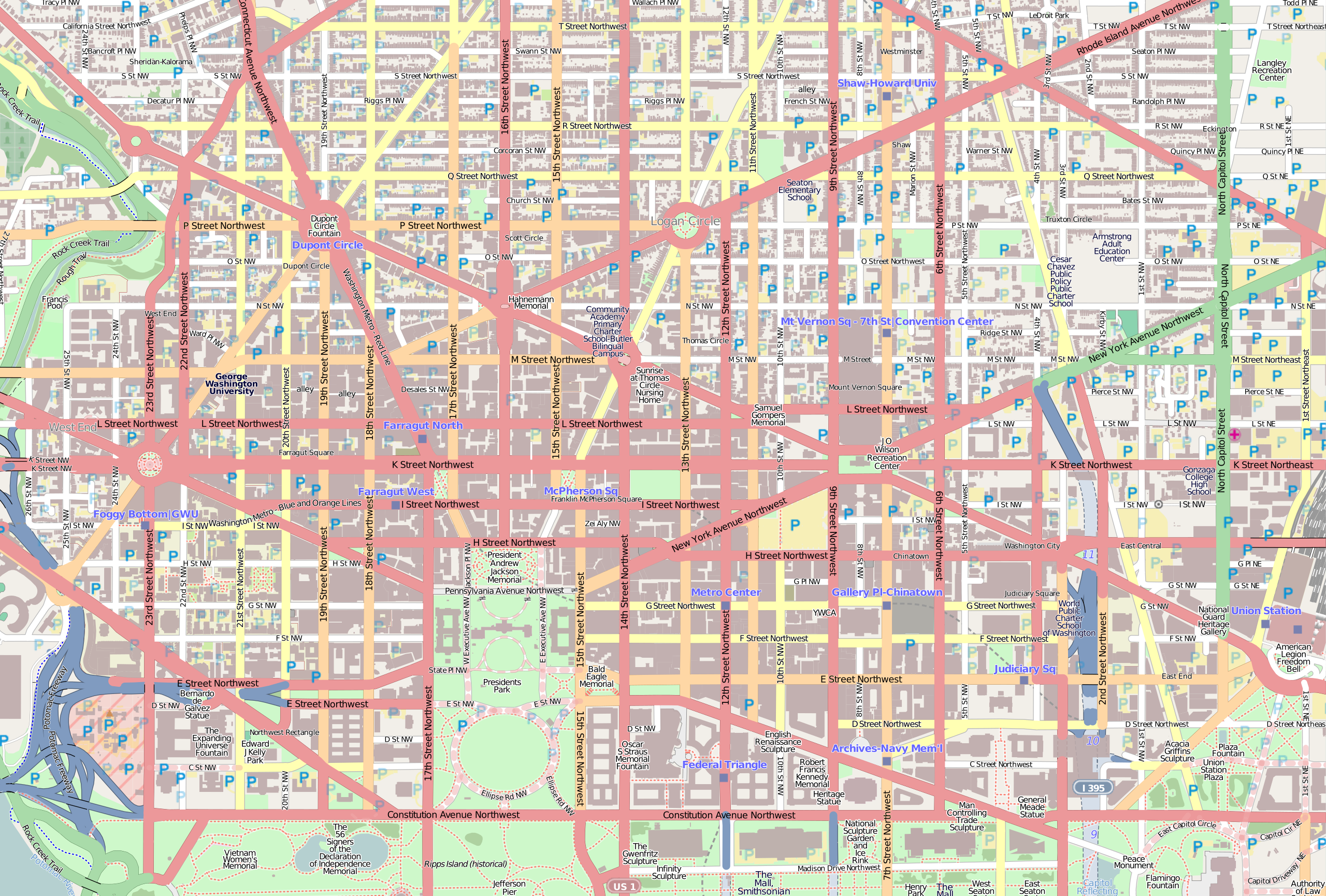
This map was created from OpenStreetMap project data, collected by the community. This map may be incomplete, and may contain errors. Don't rely solely on it for navigation. |
| Date | |
| Source | openstreetmap.org |
| Creator |
OpenStreetMap contributors |
| Permission (Reusing this file) |
OpenStreetMap data and maps are licensed under the Creative Commons Attribution-ShareAlike 2.0 license (CC-BY-SA 2.0). This file is licensed under the Creative Commons Attribution-Share Alike 2.0 Generic license.
|
| SVG development |

File history
Click on a date/time to view the file as it appeared at that time.
| Date/Time | Thumbnail | Dimensions | User | Comment | |
|---|---|---|---|---|---|
| current | 14:40, 5 November 2011 | | 1,799 × 1,216 (12.7 MB) | 3122WIKI (talk | contribs) | {{OpenStreetMap}} Category:Washington, D.C. |
You cannot overwrite this file.
File usage on Commons
The following page uses this file:
File usage on other wikis
The following other wikis use this file:
- Usage on de.wikipedia.org
- Usage on hu.wikipedia.org
- Usage on sr.wikipedia.org