File:RU RYA Zakharovsky outline.svg

Original file (SVG file, nominally 683 × 521 pixels, file size: 364 KB)
Captions
Captions
Summary
[edit]
| Description |
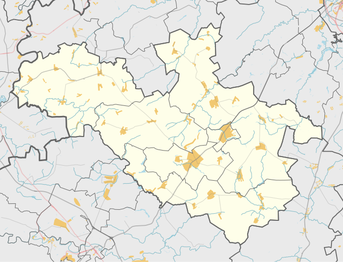
Русский: Карта, Захаровский район Рязанской области. |
| Date | |
| Source | Own work using Maperitive tool on OpenStreetMap data, then Inkscape |
| Author | Nzeemin |
Licensing
[edit]
| Description |
This map was created from OpenStreetMap project data, collected by the community. This map may be incomplete, and may contain errors. Don't rely solely on it for navigation. |
|||
| Date | (see file history) | |||
| Source | openstreetmap.org | |||
| Creator |
OpenStreetMap contributors |
|||
| Permission (Reusing this file) |
OpenStreetMap data is available under the Open Database License (details). Map tiles are licensed under the Creative Commons Attribution-ShareAlike 2.0 license (CC-BY-SA 2.0).
This file is licensed under the Creative Commons Attribution-Share Alike 2.0 Generic license.
|
|||
| Georeferencing | If inappropriate please set warp_status = skip to hide. |
Details
[edit]
Maperitive commands:
set-geo-bounds 38.75,54.20833,39.6875,54.625
set-print-bounds-geo
zoom 10
export-svg compatibility=inkscape
File history
Click on a date/time to view the file as it appeared at that time.
| Date/Time | Thumbnail | Dimensions | User | Comment | |
|---|---|---|---|---|---|
| current | 18:13, 29 October 2014 | | 683 × 521 (364 KB) | Nzeemin (talk | contribs) | User created page with UploadWizard |
You cannot overwrite this file.
File usage on Commons
There are no pages that use this file.
File usage on other wikis
The following other wikis use this file:
- Usage on ru.wikipedia.org
- Захаровский район
- Захарово (Захаровский район)
- Хутор Охотники
- Байдики (Рязанская область)
- Жокино
- Большое Коровино (Рязанская область)
- Плахино (Захаровский район)
- Летники (Захаровский район)
- Шаблон:ПозКарта Россия Рязанская область Захаровский район
- Административно-территориальное деление Захаровского района
- Участник:Nzeemin/Карты/Районы
- Добрые Пчёлы
- Елино (Рязанская область)
- Альяшево
- Старое Зимино
- Субботино (Рязанская область)
- Остроухово (Рязанская область)
- Перекаль (Захаровский район)
- Осово (Рязанская область)
- Окуньково
- Мотовилово (Рязанская область)
- Поливаново (Рязанская область)
- Лобково (Рязанская область)
- Лялино (Рязанская область)
- Гладкие Выселки
- Троицкое (Захаровский район)
- Посёлок совхоза «Смена»
- Федоровское (Рязанская область)
- Безлычное
- Попадьино (Рязанская область)
- Катагоща (село)
- Пупкино
- Асники (Захаровский район)
- Волынь (Захаровский район)
- Шляхино
- Савин-Корь
- Фурмакино
- Сапковские Выселки
- Малое Коровино
- Студенец (Захаровский район)
- Таракановка (Рязанская область)
- Некрасово (Захаровский район)
- Надеждино (Захаровский район)
- Комаровка (Рязанская область)
- Суворовка (Рязанская область)
- Нечаевка (Рязанская область)
- Зачесловка
- Мельгуновка (Рязанская область)
- Орешково (Рязанская область)
- Низки (Рязанская область)
View more global usage of this file.