File:RU RYA Alexandro-Nevsky outline.svg

Original file (SVG file, nominally 568 × 428 pixels, file size: 231 KB)
Captions
Captions
Summary
[edit]
| Description |
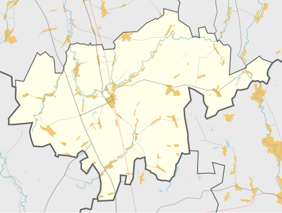
Русский: Карта, Александро-Невский район Рязанской области. |
| Date | |
| Source | Own work using Maperitive tool on OpenStreetMap data, then Inkscape |
| Author | OpenStreetMap contributors & Nzeemin |
Licensing
[edit]
| Description |
This map was created from OpenStreetMap project data, collected by the community. This map may be incomplete, and may contain errors. Don't rely solely on it for navigation. |
|||
| Date | (see file history) | |||
| Source | openstreetmap.org | |||
| Creator |
OpenStreetMap contributors |
|||
| Permission (Reusing this file) |
OpenStreetMap data is available under the Open Database License (details). Map tiles are licensed under the Creative Commons Attribution-ShareAlike 2.0 license (CC-BY-SA 2.0).
This file is licensed under the Creative Commons Attribution-Share Alike 2.0 Generic license.
|
|||
| Georeferencing | If inappropriate please set warp_status = skip to hide. |
Details
[edit]
Maperitive commands:
set-geo-bounds 39.9,53.29,40.68,53.64
set-print-bounds-geo
zoom 10
export-svg compatibility=inkscape
File history
Click on a date/time to view the file as it appeared at that time.
| Date/Time | Thumbnail | Dimensions | User | Comment | |
|---|---|---|---|---|---|
| current | 20:06, 22 March 2013 | | 568 × 428 (231 KB) | Nzeemin (talk | contribs) | User created page with UploadWizard |
You cannot overwrite this file.
File usage on Commons
There are no pages that use this file.
File usage on other wikis
The following other wikis use this file:
- Usage on ru.wikipedia.org
- Александро-Невский район
- Александро-Невский (Рязанская область)
- Колобово (Рязанская область)
- Зимарово (Александро-Невский район)
- Шаблон:ПозКарта Россия Рязанская область Александро-Невский район
- Заборово (Рязанская область)
- Участник:Nzeemin/Карты/Районы
- Бурминка (село)
- Рождественское (Рязанская область)
- Спешнево (Рязанская область)
- Крещено Гаи
- Красное (Александро-Невский район)
- Благие
- Ново-Тишевое
- Красное Знамя (Рязанская область)
- Ленино (Александро-Невский район)
- Калинино (Александро-Невский район)
- Просечье
- Студенки (Рязанская область)
- Ново-Сергиевка
- Верхний Якимец
- Нижний Якимец
- Сергиевский Боровок
- Дмитриевский Боровок
- Каширин (Рязанская область)
- Борисовка (Александро-Невский район)
- Павловка (Александро-Невский район)
- Дмитриевка (Александро-Невский район)
- Знаменка (Александро-Невский район)
- Николаевка (Александро-Невский район)
- Кленские Выселки
- Бахметьево (Александро-Невский район)
- Владимировка (Александро-Невский район)
- Чагино (Рязанская область)
- Ольховка (Александро-Невский район)
- Николо-Выселки
- Канищево (Александро-Невский район)
- Луговой (Александро-Невский район)
- Аннинка
- Аннино (Александро-Невский район)
- Свистовка (Александро-Невский район)
- Константиновка (Александро-Невский район)
- Ознобищево
- Чернышевка (Рязанская область)
- Курган (Александро-Невский район)
- Дикое Поле (Рязанская область)
- Добрая Надежда (Рязанская область)
- Сатиновка
- Федцовка
- Урусово (Рязанская область)
View more global usage of this file.