File:RU-PRI-Shkotovsky-relief.png
Jump to navigation
Jump to search
No higher resolution available.
RU-PRI-Shkotovsky-relief.png (358 × 569 pixels, file size: 302 KB, MIME type: image/png)
Captions
Captions
Add a one-line explanation of what this file represents
Summary
[edit]
| Description |
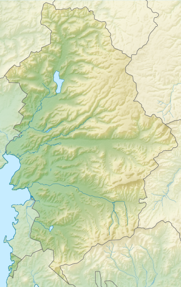
Русский: Карта Шкотовского района Приморского края РФ |
| Date | (UTC) |
| Source | Own work using GMT Tools plus Inkscape tuning |
| Author | OpenStreetMap contributors & dima_st_bk |
| Coord | 132.2726,42.9393,132.9675,43.7433 |
Licensing
[edit]
I, the copyright holder of this work, hereby publish it under the following license:
This file is licensed under the Creative Commons Attribution-Share Alike 3.0 Unported license.
- You are free:
- to share – to copy, distribute and transmit the work
- to remix – to adapt the work
- Under the following conditions:
- attribution – You must give appropriate credit, provide a link to the license, and indicate if changes were made. You may do so in any reasonable manner, but not in any way that suggests the licensor endorses you or your use.
- share alike – If you remix, transform, or build upon the material, you must distribute your contributions under the same or compatible license as the original.
File history
Click on a date/time to view the file as it appeared at that time.
| Date/Time | Thumbnail | Dimensions | User | Comment | |
|---|---|---|---|---|---|
| current | 15:16, 30 January 2015 | | 358 × 569 (302 KB) | RokerHRO (talk | contribs) | optipng -o7 -i0 → 23.41% decrease |
| 15:21, 25 January 2015 |  | 358 × 569 (394 KB) | Dima st bk (talk | contribs) | береговая линия | |
| 15:18, 25 January 2015 |  | 358 × 569 (335 KB) | Dima st bk (talk | contribs) | Выровнял прозрачность для всех полигонов | |
| 17:36, 17 January 2015 |  | 358 × 569 (402 KB) | Dima st bk (talk | contribs) | == Summary == {{Information |description={{ru|1=Карта Шкотовского района Приморского края РФ}} |date=~~~~~ |source={{own}} using GMT Tools plus Inkscape tuning |author=OpenStreetMap contributors & [[User:dima_st_b... |
You cannot overwrite this file.
File usage on Commons
There are no pages that use this file.
File usage on other wikis
The following other wikis use this file:
- Usage on arz.wikipedia.org
- Usage on fr.wikipedia.org
- Modèle:Géolocalisation/Raïon de Chkotovo
- Novonéjine
- 53e km
- Myssovoï
- Podiapolskoïe
- Strelok (kraï du Primorié)
- Anissimovka (kraï du Primorié)
- Chkotovo
- Chtykovo
- Loukianovka (raïon de Chkotovo)
- Mnogooubodnoïe
- Moliony Mys
- Novaïa Moskva (kraï du Primorié)
- Novorossiïa (kraï du Primorié)
- Retchitsa (kraï du Primorié)
- Rojdestvenka (raïon de Chkotovo)
- Romanovka (kraï du Primorié)
- Smialitchi
- Steklianoukha
- Tsariovka (kraï du Primorié)
- Tsentralnoïe (kraï du Primorié)
- Usage on ru.wikipedia.org