File:RU-PRI-Shkotovsky-outline.svg
Jump to navigation
Jump to search

Size of this PNG preview of this SVG file: 358 × 569 pixels. Other resolutions: 151 × 240 pixels | 302 × 480 pixels | 483 × 768 pixels | 644 × 1,024 pixels | 1,288 × 2,048 pixels.
Original file (SVG file, nominally 358 × 569 pixels, file size: 301 KB)
Captions
Captions
Add a one-line explanation of what this file represents
Summary
[edit]
| Description |
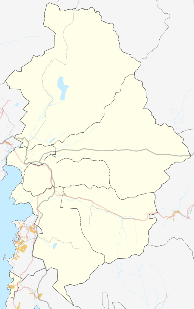
Русский: Карта Шкотовского района Приморского края РФ |
| Date | |
| Source | Own work using Maperitive tool on OpenStreetMap data plus Inkscape tuning |
| Author | OpenStreetMap contributors & dima_st_bk |
| Coord | 132.2726,42.9393,132.9675,43.7433 |
Licensing
[edit]
| Description |
This map was created from OpenStreetMap project data, collected by the community. This map may be incomplete, and may contain errors. Don't rely solely on it for navigation. |
|||
| Date | (see file history) | |||
| Source | openstreetmap.org | |||
| Creator |
OpenStreetMap contributors |
|||
| Permission (Reusing this file) |
OpenStreetMap data is available under the Open Database License (details). Map tiles are licensed under the Creative Commons Attribution-ShareAlike 2.0 license (CC-BY-SA 2.0).
This file is licensed under the Creative Commons Attribution-Share Alike 2.0 Generic license.
|
|||
| Georeferencing | If inappropriate please set warp_status = skip to hide. |
File history
Click on a date/time to view the file as it appeared at that time.
| Date/Time | Thumbnail | Dimensions | User | Comment | |
|---|---|---|---|---|---|
| current | 09:43, 11 October 2015 | | 358 × 569 (301 KB) | Dima st bk (talk | contribs) | границы поселений |
| 04:44, 21 December 2014 |  | 358 × 569 (282 KB) | Dima st bk (talk | contribs) | fix boundary and road | |
| 06:02, 17 April 2014 |  | 358 × 569 (251 KB) | Dima st bk (talk | contribs) | tuning | |
| 03:12, 17 April 2014 |  | 358 × 569 (251 KB) | Dima st bk (talk | contribs) | User created page with UploadWizard |
You cannot overwrite this file.
File usage on Commons
There are no pages that use this file.
File usage on other wikis
The following other wikis use this file:
- Usage on fr.wikipedia.org
- Usage on ru.wikipedia.org
- Новая Москва (Приморский край)
- Шкотовский район
- Шкотово
- Смоляниново
- Новонежино
- Речица (Приморский край)
- Романовка (Приморский край)
- Штыково
- Подъяпольское
- Царёвка (Приморский край)
- Новороссия (Приморский край)
- Многоудобное
- Анисимовка (Приморский край)
- Молёный Мыс
- Рождественка (Шкотовский район)
- Смяличи
- Стеклянуха
- Мысовой
- Лукьяновка (Шкотовский район)
- Центральное (Приморский край)
- Стрелок (посёлок)
- 53-й км
- Проект:Графическая мастерская/Заявки/Архив/2014/03
- Шаблон:ПозКарта Россия Приморский край Шкотовский район
- Википедия:Форум/Архив/Общий/2015/04