File:RU-MOS-Shchelkovsky-outline.svg

Original file (SVG file, nominally 499 × 554 pixels, file size: 1.59 MB)
Captions
Captions
Summary
[edit]
| Description |
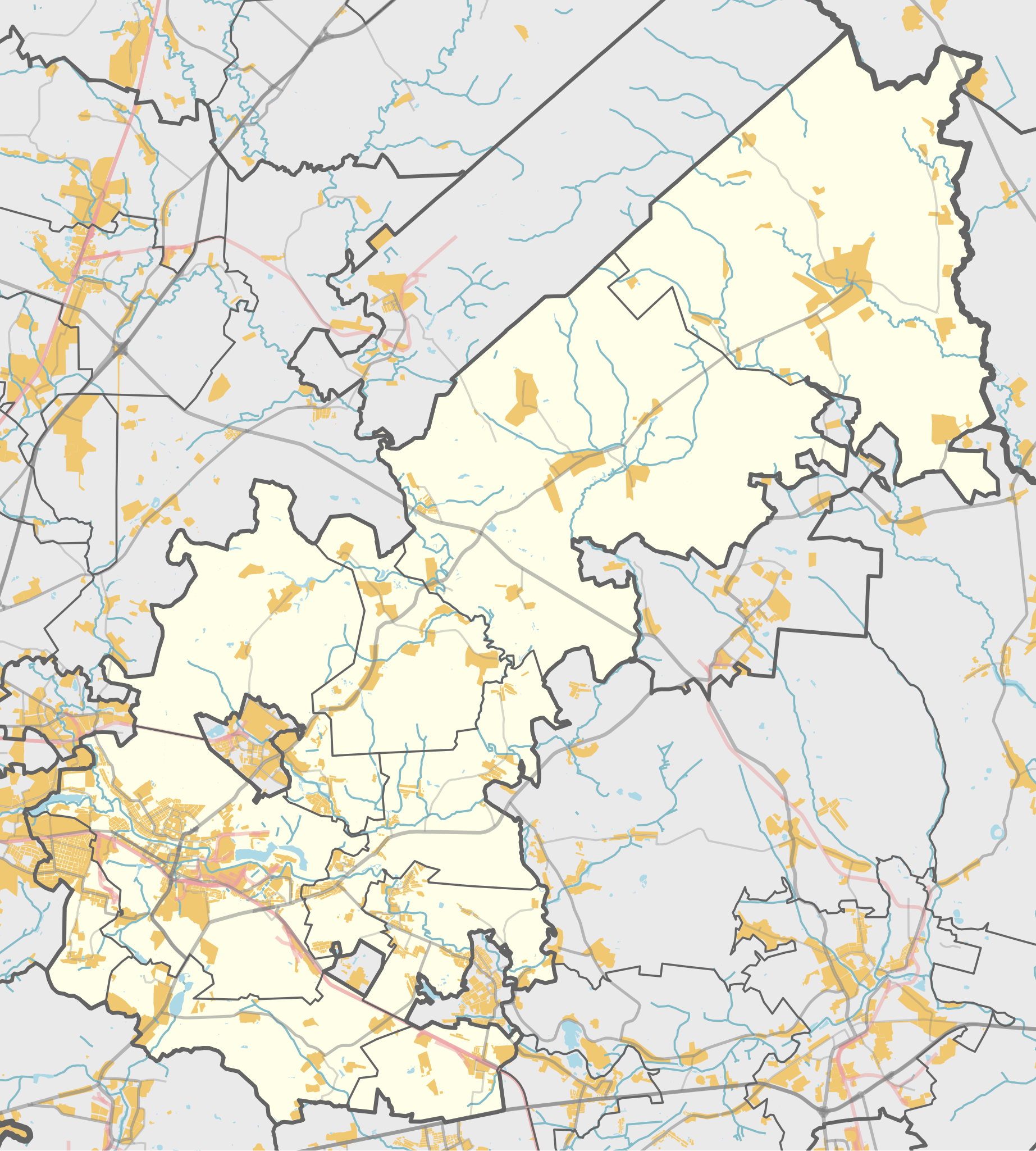
Русский: Карта, Щёлковский район Московской области. |
| Date | |
| Source | Own work using Maperitive tool on OpenStreetMap data, then Inkscape |
| Author | OpenStreetMap contributors & Nzeemin |
Licensing
[edit]
| Description |
This map was created from OpenStreetMap project data, collected by the community. This map may be incomplete, and may contain errors. Don't rely solely on it for navigation. |
|||
| Date | (see file history) | |||
| Source | openstreetmap.org | |||
| Creator |
OpenStreetMap contributors |
|||
| Permission (Reusing this file) |
OpenStreetMap data is available under the Open Database License (details). Map tiles are licensed under the Creative Commons Attribution-ShareAlike 2.0 license (CC-BY-SA 2.0).
This file is licensed under the Creative Commons Attribution-Share Alike 2.0 Generic license.
|
|||
| Georeferencing | If inappropriate please set warp_status = skip to hide. |
Details
[edit]
Maperitive commands:
set-geo-bounds 37.88,55.81,38.565,56.235
set-print-bounds-geo
zoom 10
export-svg compatibility=inkscape
File history
Click on a date/time to view the file as it appeared at that time.
| Date/Time | Thumbnail | Dimensions | User | Comment | |
|---|---|---|---|---|---|
| current | 12:21, 20 December 2018 | | 499 × 554 (1.59 MB) | RosssW (talk | contribs) | Reverted to version as of 13:29, 23 March 2014 (UTC) |
| 08:46, 21 June 2018 |  | 499 × 554 (1.65 MB) | RosssW (talk | contribs) | 2 МО выведены из состава Щелковского района с 05.06.2018 г. | |
| 13:29, 23 March 2014 |  | 499 × 554 (1.59 MB) | Nzeemin (talk | contribs) | User created page with UploadWizard |
You cannot overwrite this file.
File usage on Commons
The following page uses this file:
File usage on other wikis
The following other wikis use this file:
- Usage on ru.wikipedia.org
- Щёлковский район
- Уча (приток Клязьмы)
- Малые Петрищи
- Шевёлкино
- Любосеевка
- Шаловка (приток Клязьмы)
- Каблуково (Московская область)
- Старая Слобода (Московская область)
- Большое (озеро, Щёлковский район)
- Новая Слобода (Московская область)
- Богослово (Щёлковский район)
- Лашутка
- Трубино (Московская область)
- Образцово (Щёлковский район)
- Киленка (приток Ширенки)
- Грязевка (приток Мележи)
- Ширенка (приток Мележи)
- Петровское (Щёлковский район)
- Камшиловка
- Гречушка
- Кладбище немецких военнопленных (Кожино)
- Могутово (Щёлковский район)
- Шаблон:ПозКарта Россия Московская область Щёлковский район
- Проект:Графическая мастерская/Заявки/Архив/2014/03
- Камшиловка (река)
- Мишнево (Щёлковский район)
- Монинское мемориальное военное кладбище
- Серково (Щёлковский район)
- Участник:Nzeemin/Карты/Районы
- Васильевское (Щёлковский район)
- Алмазово (Щёлковский район)
- Большие Жеребцы
- Долгое Лёдово
- Никифорово (Щёлковский район)
- Кишкино (Щёлковский район)
- Соколово (Щёлковский район)
- Моносеево (Московская область)
- Первая Алексеевка
- Посёлок Огудневского лесничества
- Клюквенный (Московская область)
- Вторая Алексеевка
- Оболдино
- Муравей (заказник)
- Рязанцы (Щёлковский район)
- Болото Гумениха
- Болото Сётка
- Кварталы 4, 5, 6 и 21 Фряновского лесничества
- Душоново
- Аксиньино (Щёлковский район)
- Воря-Богородское
View more global usage of this file.