File:RU-KIR-Zuyevsky-outline.svg

Original file (SVG file, nominally 499 × 775 pixels, file size: 492 KB)
Captions
Captions
Summary
[edit]
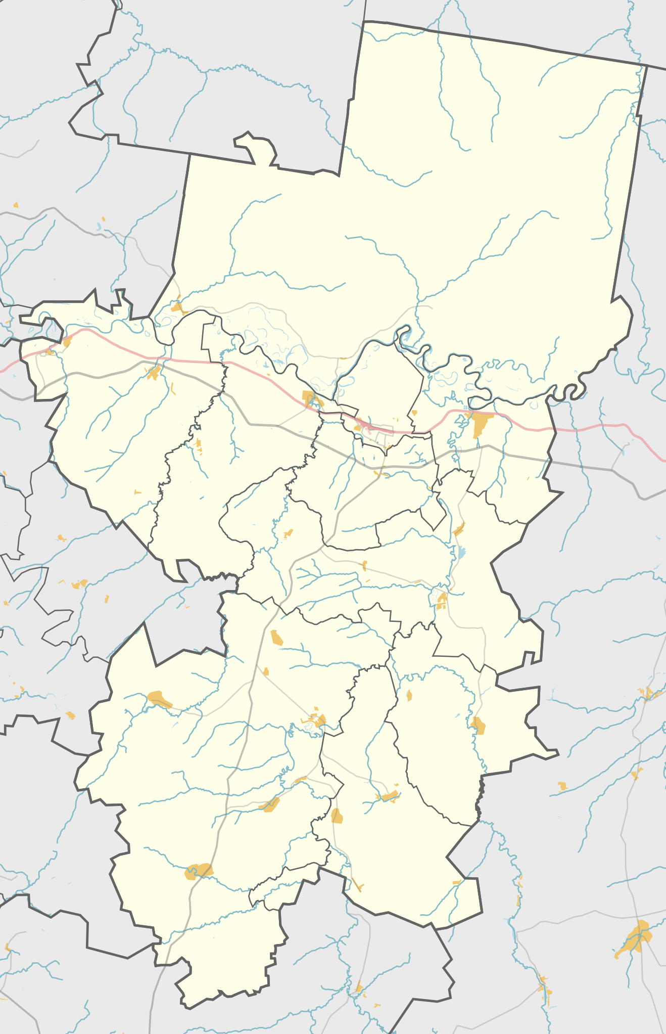
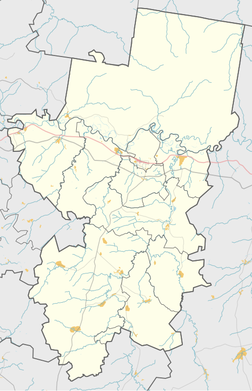
| Description |
Русский: Карта, Зуевский район Кировской области. |
| Date | |
| Source | Own work using Maperitive and Inkscape |
| Author | OpenStreetMap contributors and Nzeemin |
Licensing
[edit]
| Description |
This map was created from OpenStreetMap project data, collected by the community. This map may be incomplete, and may contain errors. Don't rely solely on it for navigation. |
|||
| Date | (see file history) | |||
| Source | openstreetmap.org | |||
| Creator |
OpenStreetMap contributors |
|||
| Permission (Reusing this file) |
OpenStreetMap data is available under the Open Database License (details). Map tiles are licensed under the Creative Commons Attribution-ShareAlike 2.0 license (CC-BY-SA 2.0).
This file is licensed under the Creative Commons Attribution-Share Alike 2.0 Generic license.
|
|||
| Georeferencing | If inappropriate please set warp_status = skip to hide. |
Details
[edit]
Maperitive commands:
set-geo-bounds 50.58,57.94,51.55,58.73
set-print-bounds-geo
zoom 9.5
export-svg compatibility=inkscape
File history
Click on a date/time to view the file as it appeared at that time.
| Date/Time | Thumbnail | Dimensions | User | Comment | |
|---|---|---|---|---|---|
| current | 20:56, 17 March 2022 | | 499 × 775 (492 KB) | Nzeemin (talk | contribs) | Uploaded own work with UploadWizard |
You cannot overwrite this file.
File usage on Commons
There are no pages that use this file.
File usage on other wikis
The following other wikis use this file:
- Usage on fr.wikipedia.org
- Usage on os.wikipedia.org
- Usage on ru.wikipedia.org
- Зуевка
- Соколовка (Кировская область)
- Косино (Зуевский район)
- Мухино (Кировская область)
- Рябово (Кировская область)
- Сезенево (Зуевский район)
- Мотоус
- Участник:Nzeemin/Карты/Районы
- Коса (Кировская область)
- Суна (Зуевский район)
- Октябрьский (Зуевский район)
- Зуи (Зуевский район)
- Семушино (Кировская область)
- Кордяга (посёлок)
- Волчье (Кировская область)
- Лема (Кировская область)
- Спасо-Заозерье
- Хмелевка (Зуевский район)
- Шаблон:ПозКарта Россия Кировская область Зуевский район
- Талица (Зуевский район)
- Моченки
- Яговкинцы
- Целоусы
- Посохи
- Луза (Зуевский район)
- Лубнята
- Клины (Кировская область)
- Абросенки
- Поджорново
- Махни
- Дереганцы
- Кокоренцы
- Торфопредприятие (Кировская область)
- Рехино (посёлок)
- Рехино (железнодорожная станция)
- Ардаши (железнодорожная станция)
- 1040 км
- 1041 км
- Береговой (Кировская область)
- Ардаши (деревня)
- Собаконки
- Ожеговцы
- Косинка (деревня)
- Бельник (деревня)
- Барменки (Семушинское сельское поселение)
- Семенки (Кировская область)
- Ряхи
View more global usage of this file.