File:RO DJ Bradesti DN65.jpg
Jump to navigation
Jump to search
Size of this preview: 800 × 375 pixels. Other resolutions: 320 × 150 pixels | 640 × 300 pixels | 1,024 × 481 pixels | 1,280 × 601 pixels | 2,560 × 1,201 pixels | 4,456 × 2,091 pixels.
Original file (4,456 × 2,091 pixels, file size: 3.18 MB, MIME type: image/jpeg)
Captions
Captions
Add a one-line explanation of what this file represents
Summary
[edit]
| Description |
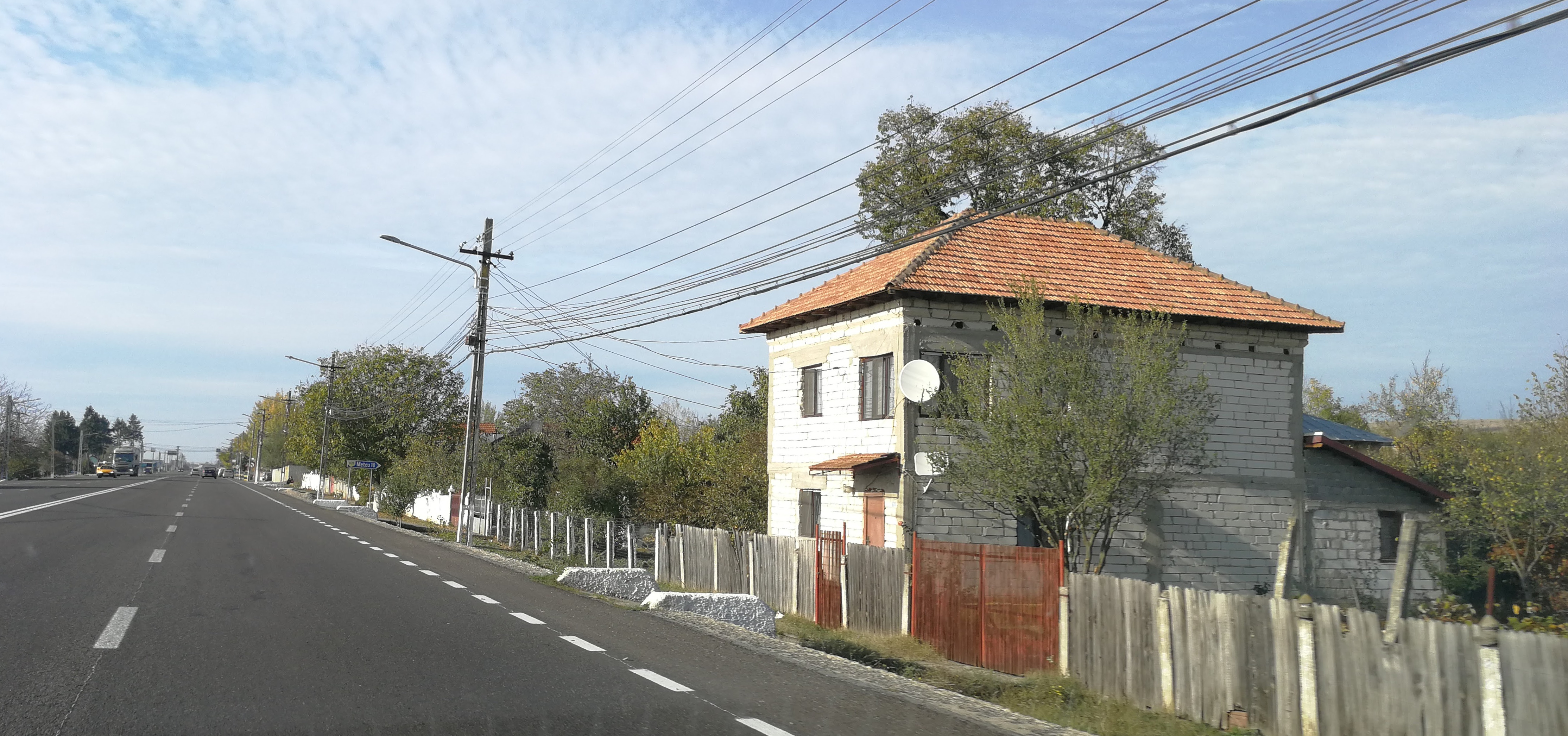
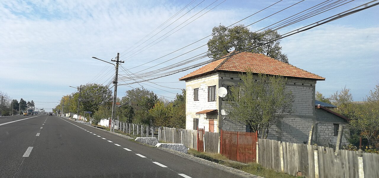
English: Romanian national road DN65 in Brădești, Dolj County |
| Date | |
| Source | Own work |
| Author | Andrei Stroe |
| Camera location | | View this and other nearby images on: OpenStreetMap |
|---|
Licensing
[edit]
I, the copyright holder of this work, hereby publish it under the following license:
This file is licensed under the Creative Commons Attribution-Share Alike 4.0 International license.
- You are free:
- to share – to copy, distribute and transmit the work
- to remix – to adapt the work
- Under the following conditions:
- attribution – You must give appropriate credit, provide a link to the license, and indicate if changes were made. You may do so in any reasonable manner, but not in any way that suggests the licensor endorses you or your use.
- share alike – If you remix, transform, or build upon the material, you must distribute your contributions under the same or compatible license as the original.
File history
Click on a date/time to view the file as it appeared at that time.
| Date/Time | Thumbnail | Dimensions | User | Comment | |
|---|---|---|---|---|---|
| current | 10:11, 21 August 2018 | | 4,456 × 2,091 (3.18 MB) | Andrei Stroe (talk | contribs) | User created page with UploadWizard |
You cannot overwrite this file.
File usage on Commons
There are no pages that use this file.
File usage on other wikis
The following other wikis use this file:
- Usage on arz.wikipedia.org
- Usage on ceb.wikipedia.org
- Usage on ce.wikipedia.org
- Usage on pl.wikipedia.org
- Usage on ro.wikipedia.org
- Usage on sr.wikipedia.org
- Usage on tt.wikipedia.org
- Usage on www.wikidata.org