File:ROCAF Fighters Line up at CCK AFB Apron 20111112.jpg
From Wikimedia Commons, the free media repository
Jump to navigation
Jump to search
Size of this preview: 800 × 533 pixels. Other resolutions: 320 × 213 pixels | 640 × 427 pixels | 1,024 × 683 pixels | 1,280 × 853 pixels | 2,560 × 1,707 pixels | 4,608 × 3,072 pixels.
Original file (4,608 × 3,072 pixels, file size: 4.78 MB, MIME type: image/jpeg)
File information
Structured data
Captions
Summary
[edit]DescriptionROCAF Fighters Line up at CCK AFB Apron 20111112.jpg |
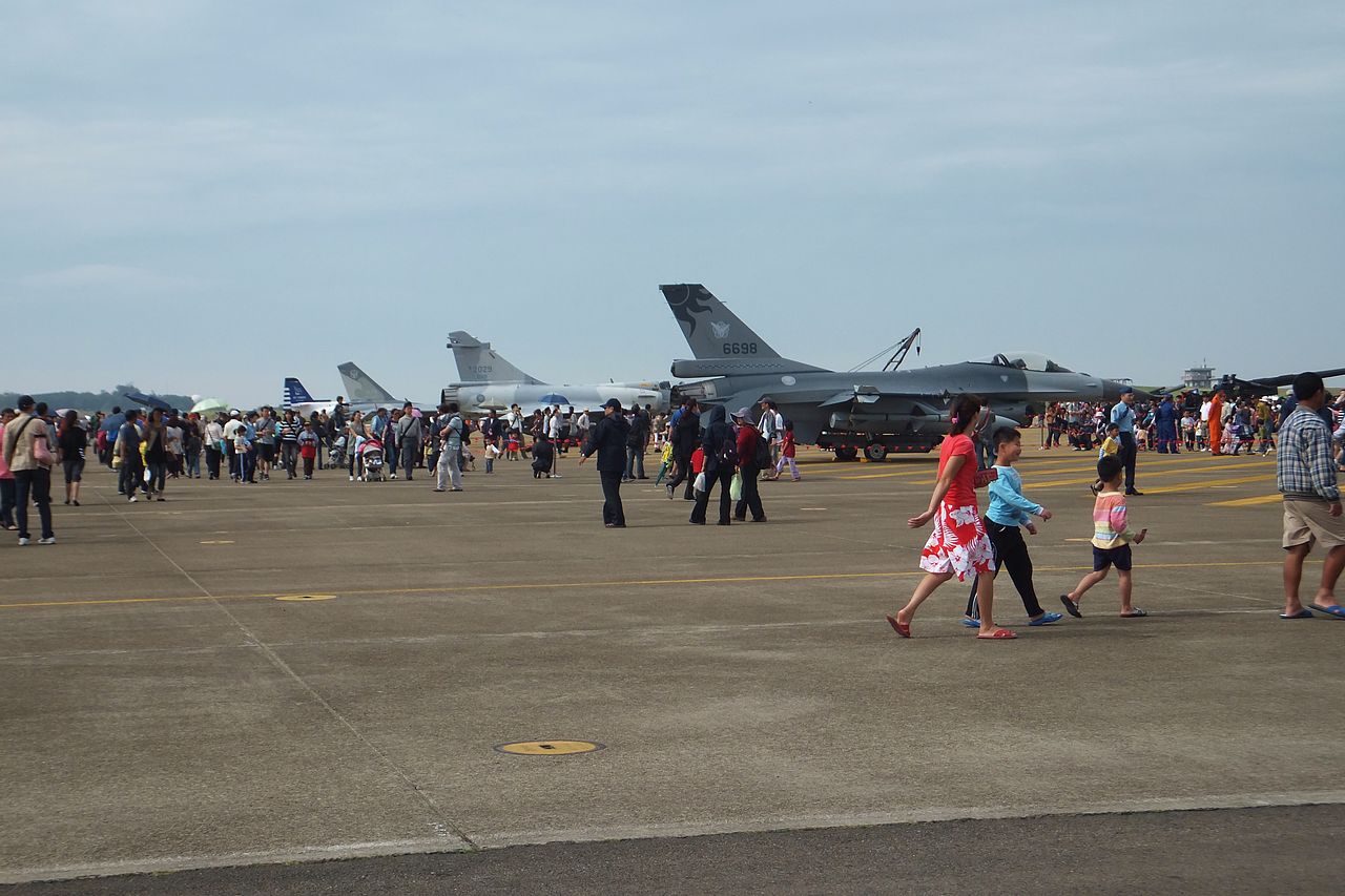
中文(臺灣):2011年空軍清泉崗營區開放活動,停機坪展示的F-16A、Mirage2000、F-CK-1與AT-3。 |
Date | |
Source | Own work |
Author | 玄史生 |
Camera location | 24° 15′ 33.16″ N, 120° 37′ 58.97″ E | View this and other nearby images on: OpenStreetMap | 24.259212; 120.633047 |
---|
Licensing
[edit]Public domainPublic domainfalsefalse |
I, the copyright holder of this work, release this work into the public domain. This applies worldwide. In some countries this may not be legally possible; if so: I grant anyone the right to use this work for any purpose, without any conditions, unless such conditions are required by law. |
File history
Click on a date/time to view the file as it appeared at that time.
Date/Time | Thumbnail | Dimensions | User | Comment | |
---|---|---|---|---|---|
current | 06:06, 14 April 2013 | 4,608 × 3,072 (4.78 MB) | 玄史生 (talk | contribs) | {{Information |Description ={{zh-tw|1=2011年空軍清泉崗營區開放活動,停機坪展示的F-16A、Mirage2000、F-CK-1與AT-3。}} |Source ={{Own}} |Author =玄史生 |Date =2011-11-12 |Permission... |
You cannot overwrite this file.
File usage on Commons
The following page uses this file:
File usage on other wikis
The following other wikis use this file:
- Usage on zh.wikipedia.org
Metadata
This file contains additional information such as Exif metadata which may have been added by the digital camera, scanner, or software program used to create or digitize it. If the file has been modified from its original state, some details such as the timestamp may not fully reflect those of the original file. The timestamp is only as accurate as the clock in the camera, and it may be completely wrong.
Camera manufacturer | FUJIFILM |
---|---|
Camera model | FinePix F550EXR |
Exposure time | 1/300 sec (0.0033333333333333) |
F-number | f/9 |
ISO speed rating | 100 |
Date and time of data generation | 11:30, 12 November 2011 |
Lens focal length | 12.5 mm |
Latitude | 24° 15′ 33.16″ N |
Longitude | 120° 37′ 58.97″ E |
Altitude | 245.2 meters above sea level |
Orientation | Normal |
Horizontal resolution | 72 dpi |
Vertical resolution | 72 dpi |
Software used | Digital Camera FinePix F550EXR Ver1.13 |
File change date and time | 11:00, 14 April 2013 |
Y and C positioning | Co-sited |
Exposure Program | Normal program |
Exif version | 2.3 |
Date and time of digitizing | 11:30, 12 November 2011 |
Meaning of each component |
|
Image compression mode | 3.2 |
APEX shutter speed | 8.23 |
APEX aperture | 6.3 |
APEX brightness | 9.76 |
APEX exposure bias | 0 |
Maximum land aperture | 3.6 APEX (f/3.48) |
Metering mode | Pattern |
Light source | Unknown |
Flash | Flash did not fire, auto mode |
Supported Flashpix version | 1 |
Color space | sRGB |
Focal plane X resolution | 7,166 |
Focal plane Y resolution | 7,166 |
Focal plane resolution unit | 3 |
Sensing method | One-chip color area sensor |
File source | Digital still camera |
Scene type | A directly photographed image |
Custom image processing | Normal process |
Exposure mode | Auto exposure |
White balance | Auto white balance |
Scene capture type | Standard |
Sharpness | Normal |
Subject distance range | Unknown |
Unique image ID | 3352434E136B460DB8D3FC9E3DFC2F02 |
GPS time (atomic clock) | 03:30 |
Satellites used for measurement | 09 |
Receiver status | Measurement in progress |
Measurement mode | 3-dimensional measurement |
Measurement precision | Poor (2.2) |
Speed unit | Kilometers per hour |
Speed of GPS receiver | 0.01 |
Geodetic survey data used | WGS-84 |
GPS date | 12 November 2011 |
GPS tag version | 2.3.0.0 |