File:Quarry entrance, Gurney Slade - geograph.org.uk - 1253956.jpg
Jump to navigation
Jump to search
No higher resolution available.
Quarry_entrance,_Gurney_Slade_-_geograph.org.uk_-_1253956.jpg (640 × 495 pixels, file size: 126 KB, MIME type: image/jpeg)
Captions
Captions
Add a one-line explanation of what this file represents
Summary
[edit]
| Description |
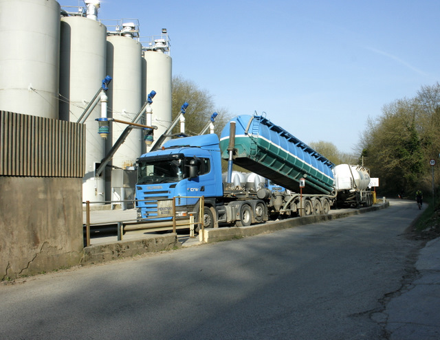
English: Quarry entrance, Gurney Slade From the west in Gurneyslade Bottom.
"The region around Gurney Slade and Emborough is geologically quite complex, being located at the eastern end of the Pen Hill Pericline, one of the four major up-folds on Mendip. To the east the Carboniferous Limestone plunges downwards disappearing beneath the Upper Carboniferous Quartzitic Sandstone and the Coal Measures" The above was copied from: http://www.bgs.ac.uk/mendips/localities/gurneyslade.html |
| Date | |
| Source | From geograph.org.uk |
| Author | Maurice Pullin |
| Camera location | | View this and other nearby images on: OpenStreetMap |
|---|
_heading:45.00&language=en)
| Object location | | View this and other nearby images on: OpenStreetMap |
|---|
_heading:45.00&language=en)
Licensing
[edit]

|
This image was taken from the Geograph project collection. See this photograph's page on the Geograph website for the photographer's contact details. The copyright on this image is owned by Maurice Pullin and is licensed for reuse under the Creative Commons Attribution-ShareAlike 2.0 license.
|
This file is licensed under the Creative Commons Attribution-Share Alike 2.0 Generic license.
Attribution: Maurice Pullin
- You are free:
- to share – to copy, distribute and transmit the work
- to remix – to adapt the work
- Under the following conditions:
- attribution – You must give appropriate credit, provide a link to the license, and indicate if changes were made. You may do so in any reasonable manner, but not in any way that suggests the licensor endorses you or your use.
- share alike – If you remix, transform, or build upon the material, you must distribute your contributions under the same or compatible license as the original.
File history
Click on a date/time to view the file as it appeared at that time.
| Date/Time | Thumbnail | Dimensions | User | Comment | |
|---|---|---|---|---|---|
| current | 20:53, 26 February 2011 | | 640 × 495 (126 KB) | GeographBot (talk | contribs) | == {{int:filedesc}} == {{Information |description={{en|1=Quarry entrance, Gurney Slade From the west in Gurneyslade Bottom. "The region around Gurney Slade and Emborough is geologically quite complex, being located at the eastern end of the Pen Hill Pe |
You cannot overwrite this file.
File usage on Commons
There are no pages that use this file.