File:Puszczykowo location map.svg
Jump to navigation
Jump to search

Size of this PNG preview of this SVG file: 544 × 600 pixels. Other resolutions: 218 × 240 pixels | 435 × 480 pixels | 696 × 768 pixels | 928 × 1,024 pixels | 1,857 × 2,048 pixels | 1,186 × 1,308 pixels.
Original file (SVG file, nominally 1,186 × 1,308 pixels, file size: 1.4 MB)
Captions
Captions
Add a one-line explanation of what this file represents
| Description |
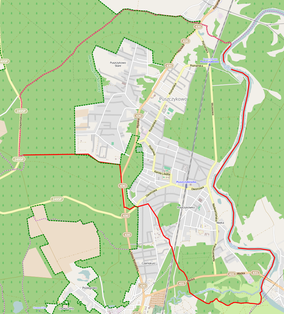
Polski: Mapa Puszczykowa, Polska
English: Map of Puszczykowo, Poland |
|||||||||
| Date | ||||||||||
| Source | You may find a page on the OpenStreetMap wiki page for Puszczykowo | |||||||||
| Creator |
OpenStreetMap contributors OpenStreetMap contributors |
|||||||||
| Permission (Reusing this file) |
OpenStreetMap data is available under the Open Database License (details). Map tiles are licensed under the Creative Commons Attribution-ShareAlike 2.0 license (CC-BY-SA 2.0).
This file is licensed under the Creative Commons Attribution-Share Alike 2.0 Generic license.
|
|||||||||
| Geotemporal data | ||||||||||
| Bounding box |
|
|||||||||
| Georeferencing | If inappropriate please set warp_status = skip to hide. | |||||||||
File history
Click on a date/time to view the file as it appeared at that time.
| Date/Time | Thumbnail | Dimensions | User | Comment | |
|---|---|---|---|---|---|
| current | 05:23, 2 December 2014 | | 1,186 × 1,308 (1.4 MB) | ArkadiuszZ (talk | contribs) | {{OpenStreetMap | name = Puszczykowo | location = Puszczykowo | description = {{pl|Mapa Puszczykowa, Polska}} {{en|Map of Puszczykowo, Poland}} | top = 52.3071 | left = 16.8075 | right =... |
You cannot overwrite this file.
File usage on Commons
There are no pages that use this file.
File usage on other wikis
The following other wikis use this file:
- Usage on fr.wikipedia.org
- Usage on pl.wikipedia.org
- Puszczykówko (stacja kolejowa)
- Puszczykowo (przystanek kolejowy)
- Wikipedysta:Matman z Lublina/brudnopis2
- Parafia Matki Boskiej Wniebowziętej w Puszczykowie
- Parafia św. Józefa Oblubieńca Najświętszej Maryi Panny w Puszczykowie
- Muzeum – Pracownia Literacka Arkadego Fiedlera w Puszczykowie
- Obszar ochrony ścisłej Nadwarciański Bór Sosnowy
- Obszar ochrony ścisłej Puszczykowskie Góry
- Obszar ochrony ścisłej Las Mieszany na Morenie
- Kościół Matki Boskiej Wniebowziętej w Puszczykowie
- Lądowisko Puszczykowo
- Cmentarz rzymskokatolicki w Puszczykowie
- Jaskinia piaskowcowa w Puszczykowie
- Moduł:Mapa/dane/Puszczykowo
- Cmentarz ewangelicki w Niwce
- Kościół św. Józefa Oblubieńca Najświętszej Maryi Panny w Puszczykowie
- Judenlager w Puszczykowie
- Puszczykówko
- Stare Puszczykowo
- Niwka (Puszczykowo)
- Usage on pl.wikibooks.org
- Usage on pt.wikipedia.org