File:Purda (gmina) location map.png
Original file (1,917 × 2,082 pixels, file size: 828 KB, MIME type: image/png)
Captions
Captions
Summary
[edit]_location_map.png&action=edit§ion=1)
| Description |
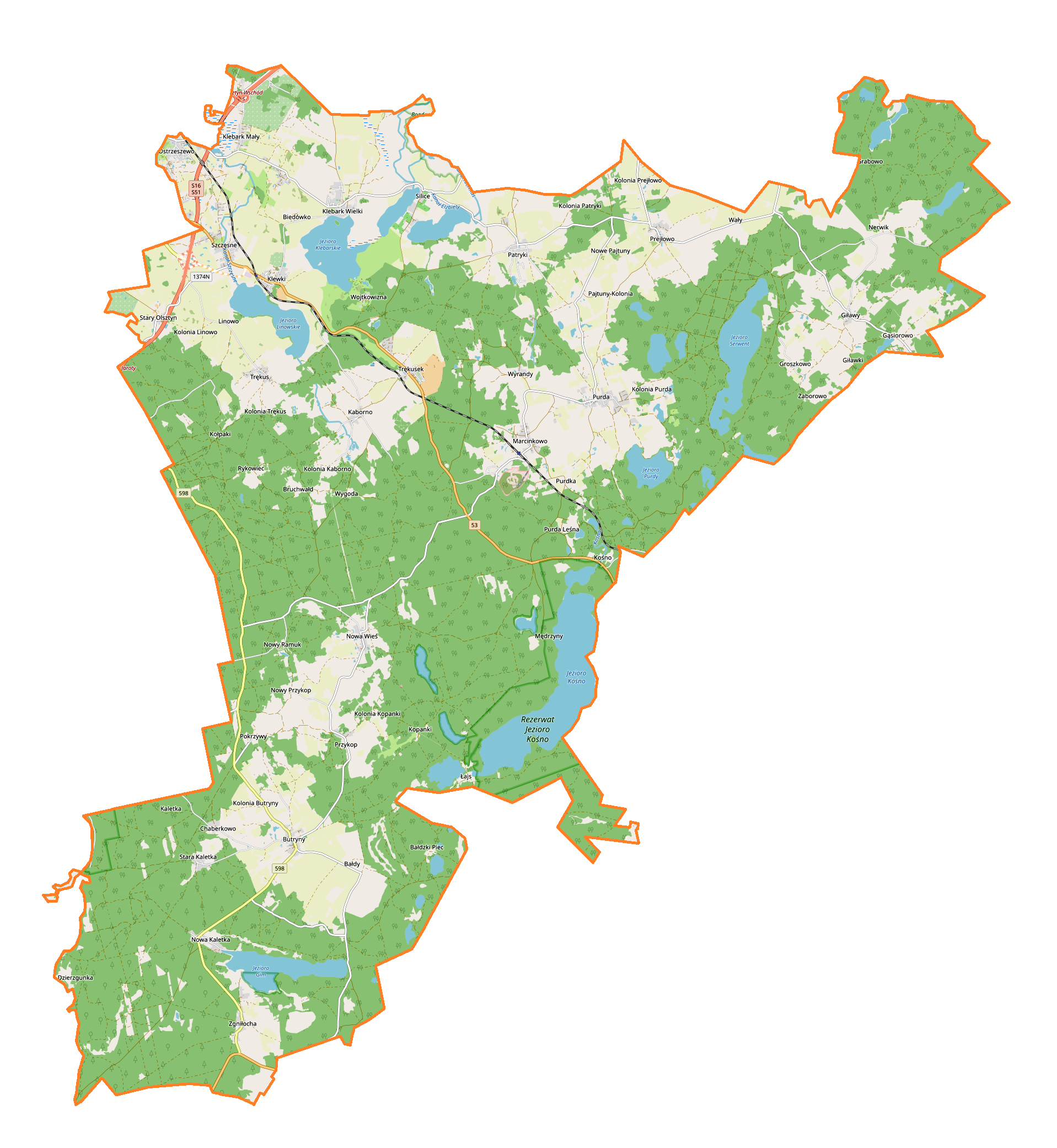
English: Location map |
| Date | |
| Source | Own work |
| Author | Smat |
| Description |
Polski: Mapa gminy Purda, Polska
English: Map of Purda (gmina), Poland |
|||||||||
| Date | ||||||||||
| Source | You may find a page on the OpenStreetMap wiki page for Purda (gmina) | |||||||||
| Creator |
OpenStreetMap contributors OpenStreetMap contributors |
|||||||||
| Permission (Reusing this file) |
OpenStreetMap data is available under the Open Database License (details). Map tiles are licensed under the Creative Commons Attribution-ShareAlike 2.0 license (CC-BY-SA 2.0).
This file is licensed under the Creative Commons Attribution-Share Alike 2.0 Generic license.
|
|||||||||
| Geotemporal data | ||||||||||
| Bounding box |
|
|||||||||
| Georeferencing | If inappropriate please set warp_status = skip to hide. | |||||||||
Licensing
[edit]_location_map.png&action=edit§ion=2)
| This work contains information from OpenStreetMap, which is made available under the Open Database License (ODbL).
The ODbL does not require any particular license for maps produced from ODbL data. Prior to 1 August 2020, map tiles produced by the OpenStreetMap Foundation were licensed under the CC-BY-SA-2.0 license. Maps produced by other people may be subject to other licences. |
File history
Click on a date/time to view the file as it appeared at that time.
| Date/Time | Thumbnail | Dimensions | User | Comment | |
|---|---|---|---|---|---|
| current | 11:37, 10 May 2019 | | 1,917 × 2,082 (828 KB) | Smat (talk | contribs) | User created page with UploadWizard |
You cannot overwrite this file.
File usage on Commons
There are no pages that use this file.
File usage on other wikis
The following other wikis use this file:
- Usage on de.wikipedia.org
- Usage on pl.wikipedia.org
- Purda
- Bałdy
- Bałdzki Piec
- Butryny
- Chaberkowo
- Giławy
- Klebark Mały
- Klebark Wielki
- Kaborno
- Łajs
- Nerwik
- Nowa Kaletka
- Ostrzeszewo
- Patryki
- Pokrzywy (województwo warmińsko-mazurskie)
- Prejłowo
- Purdka
- Silice
- Stary Olsztyn
- Stara Kaletka
- Trękus
- Trękusek
- Wyrandy
- Zgniłocha
- Groszkowo (wieś w województwie warmińsko-mazurskim)
- Klewki (województwo warmińsko-mazurskie)
- Przykop (powiat olsztyński)
- Szczęsne (województwo warmińsko-mazurskie)
- Gąsiorowo (powiat olsztyński)
- Linowo (wieś w powiecie olsztyńskim)
- Marcinkowo (powiat olsztyński)
- Pajtuny (powiat olsztyński)
- Wygoda (powiat olsztyński)
- Jezioro Łajskie
- Kośno (Pojezierze Olsztyńskie)
- Purda (jezioro)
- Kukląg
- Jezioro Klebarskie
- Rezerwat przyrody Jezioro Kośno
- Nowa Wieś (wieś w powiecie olsztyńskim)
- Kopanki (województwo warmińsko-mazurskie)
- Nowy Przykop
- Purda Leśna
- Biedówko
- Bruchwałd
- Kołpaki (województwo warmińsko-mazurskie)
- Nowy Ramuk
- Pajtuński Młyn
- Wojtkowizna
View more global usage of this file.
_location_map.png)
_location_map.png&oldid=704003998)