File:Publican Farm at road junction on A164 (geograph 7081238).jpg
Jump to navigation
Jump to search
Size of this preview: 800 × 600 pixels. Other resolutions: 320 × 240 pixels | 640 × 480 pixels | 1,024 × 768 pixels | 1,280 × 960 pixels | 2,560 × 1,920 pixels | 5,152 × 3,864 pixels.
Original file (5,152 × 3,864 pixels, file size: 3.61 MB, MIME type: image/jpeg)
Captions
Captions
Add a one-line explanation of what this file represents
Summary
[edit].jpg&action=edit§ion=1)
| Description |
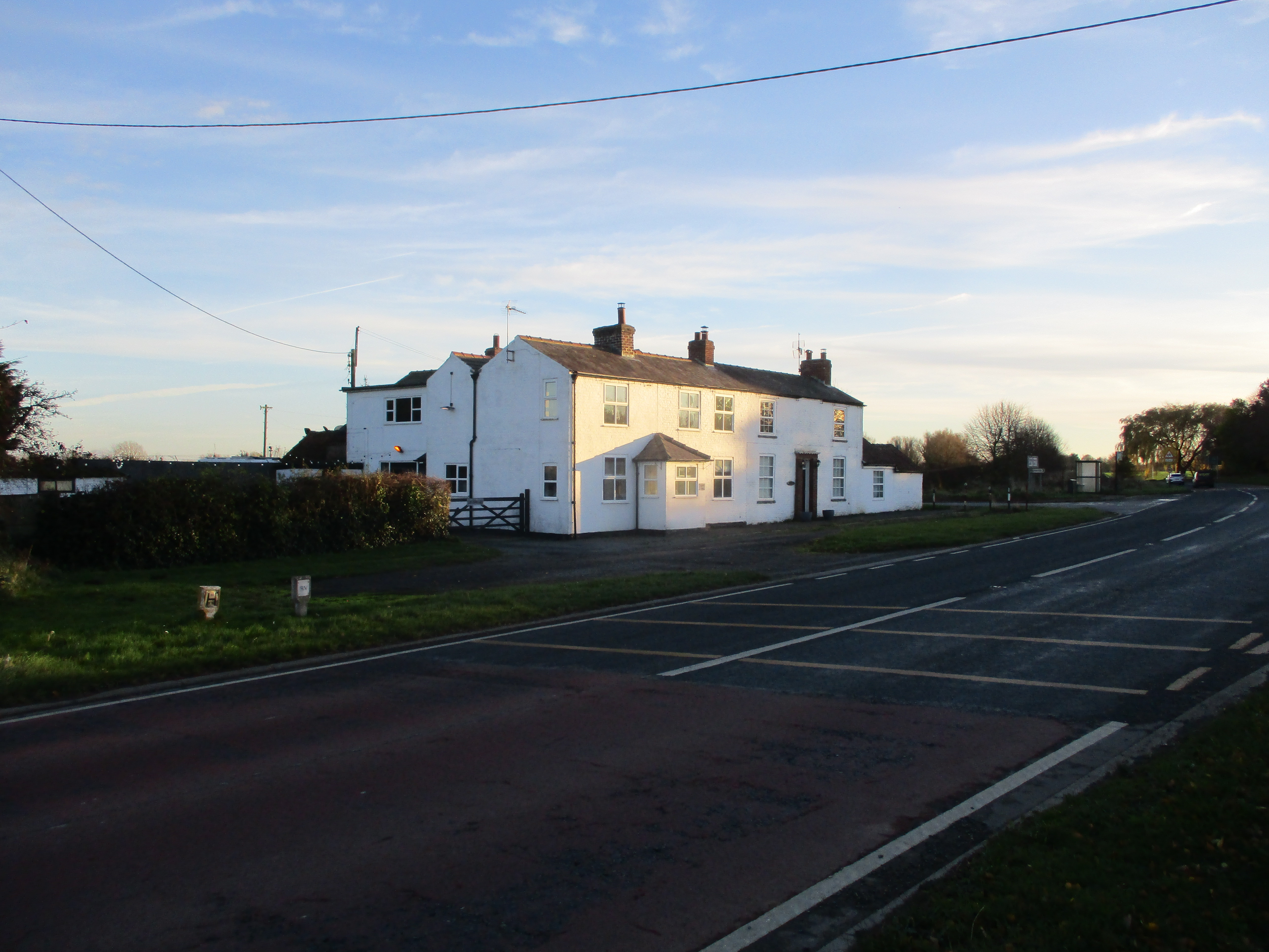
English: Publican Farm at road junction on A164 Beswick, East Riding of Yorkshire, England. Publican Farm is the righthand side of this building, at the junction with Wilfholme Road. Given its name was it once a Public House? |
| Date | |
| Source | From geograph.org.uk |
| Author | Martin Dawes |
| Permission (Reusing this file) |
Creative Commons Attribution Share-alike license 2.0 |
| Attribution (required by the license) | Martin Dawes / Publican Farm at road junction on A164 / |
| Camera location | | View this and other nearby images on: OpenStreetMap |
|---|
.jpg¶ms=053.928486_N_-000.458418_E_globe:Earth_type:camera_source:geograph-osgb36(TA01324914)_heading:157.00&language=en)
| Object location | | View this and other nearby images on: OpenStreetMap |
|---|
.jpg¶ms=053.928210_N_-000.458120_E_globe:Earth_class:object_type:object_source:geograph-osgb36(TA01344911)_heading:157.00&language=en)
Licensing
[edit].jpg&action=edit§ion=2)

|
This image was taken from the Geograph project collection. See this photograph's page on the Geograph website for the photographer's contact details. The copyright on this image is owned by Martin Dawes and is licensed for reuse under the Creative Commons Attribution-ShareAlike 2.0 license.
|
This file is licensed under the Creative Commons Attribution-Share Alike 2.0 Generic license.
Attribution: Martin Dawes
- You are free:
- to share – to copy, distribute and transmit the work
- to remix – to adapt the work
- Under the following conditions:
- attribution – You must give appropriate credit, provide a link to the license, and indicate if changes were made. You may do so in any reasonable manner, but not in any way that suggests the licensor endorses you or your use.
- share alike – If you remix, transform, or build upon the material, you must distribute your contributions under the same or compatible license as the original.
File history
Click on a date/time to view the file as it appeared at that time.
| Date/Time | Thumbnail | Dimensions | User | Comment | |
|---|---|---|---|---|---|
| current | 14:23, 15 February 2023 | | 5,152 × 3,864 (3.61 MB) | Keith D (talk | contribs) | == {{int:filedesc}} == {{Information |Description={{en|1=Publican Farm at road junction on A164 Beswick, East Riding of Yorkshire, England.<br />Publican Farm is the righthand side of this building, at the junction with Wilfholme Road. Given its name was it once a Public House?}} |Source=From [https://www.geograph.org.uk/photo/7081238 geograph.org.uk] |Date=2021-11-22 |Author=[https://www.geograph.org.uk/profile/30816... |
You cannot overwrite this file.
File usage on Commons
There are no pages that use this file.
Metadata
.jpg&oldid=782068679)
Categories:
- Beswick, East Riding of Yorkshire
- Crossroads in the East Riding of Yorkshire
- A164 road (England)
- White houses in the East Riding of Yorkshire
- Farm buildings in the East Riding of Yorkshire
- Road signs in the East Riding of Yorkshire
- Bus shelters in the East Riding of Yorkshire
- Gates in the East Riding of Yorkshire
- Hedges in Beswick, East Riding of Yorkshire
- Trees in Beswick, East Riding of Yorkshire
- November 2021 in the East Riding of Yorkshire