File:ProtectoradoBohemiaMoravia.PNG
Jump to navigation
Jump to search
No higher resolution available.
ProtectoradoBohemiaMoravia.PNG (698 × 415 pixels, file size: 107 KB, MIME type: image/png)
Captions
Captions
Add a one-line explanation of what this file represents

|
This locator map image could be re-created using vector graphics as an SVG file. This has several advantages; see Commons:Media for cleanup for more information. If an SVG form of this image is available, please upload it and afterwards replace this template with
{{vector version available|new image name}}.
It is recommended to name the SVG file “ProtectoradoBohemiaMoravia.svg”—then the template Vector version available (or Vva) does not need the new image name parameter. |
Summary
[edit]
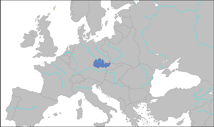
Deutsch: Lage des „Reichsprotektorats Böhmen und Mähren“ 1939
English: Location of the “Protectorate of Bohemia and Moravia” in 1939
Español: Protectorado de Bohemia y Moravia, 1939
Licensing
[edit]
| I, the copyright holder of this work, release this work into the public domain. This applies worldwide. In some countries this may not be legally possible; if so: I grant anyone the right to use this work for any purpose, without any conditions, unless such conditions are required by law. |
File history
Click on a date/time to view the file as it appeared at that time.
| Date/Time | Thumbnail | Dimensions | User | Comment | |
|---|---|---|---|---|---|
| current | 00:09, 2 April 2007 | | 698 × 415 (107 KB) | Dove (talk | contribs) | Protectorado de Bohemia y Moravia. Category: Maps of World War II |
| 00:06, 2 April 2007 |  | 872 × 518 (110 KB) | Dove (talk | contribs) | Protectorado de Bohemia y Moravia Category: Maps of World War II |
You cannot overwrite this file.
File usage on Commons
There are no pages that use this file.
File usage on other wikis
The following other wikis use this file:
- Usage on be-tarask.wikipedia.org
- Usage on be.wikipedia.org
- Usage on eu.wikipedia.org
- Usage on io.wikipedia.org
- Usage on ro.wikipedia.org