File:Prairie Creek Site.jpg
Jump to navigation
Jump to search

Size of this preview: 800 × 450 pixels. Other resolutions: 320 × 180 pixels | 640 × 360 pixels | 1,024 × 576 pixels | 1,280 × 720 pixels | 2,816 × 1,584 pixels.
Original file (2,816 × 1,584 pixels, file size: 2.05 MB, MIME type: image/jpeg)
Captions
Captions
Add a one-line explanation of what this file represents
|
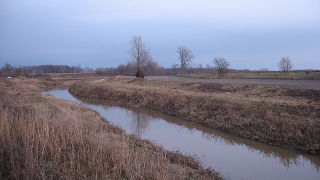
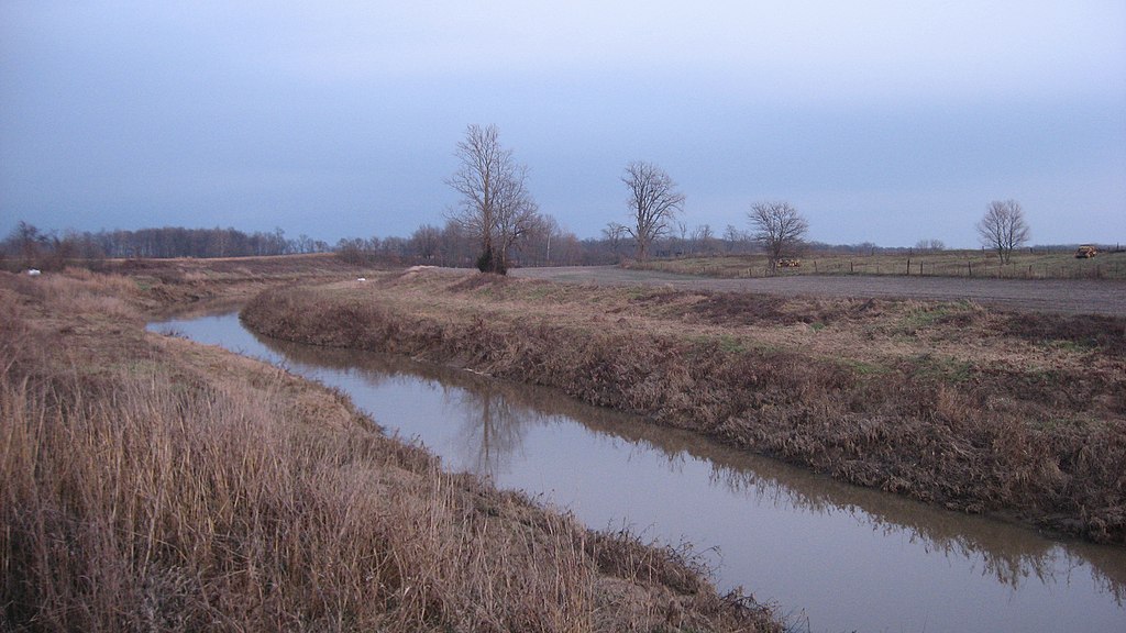
This is an image of a place or building that is listed on the National Register of Historic Places in the United States of America. Its reference number is 75000013. |
| Camera location | | View this and other nearby images on: OpenStreetMap |
|---|
| Description |
English: Looking eastward (upstream) from the State Road 57 bridge over Prairie Creek north of Washington in far northern Washington Township, Daviess County, Indiana, United States. This location is an archaeological site known as the Prairie Creek Site; it is listed on the National Register of Historic Places. |
||
| Date | Taken on 17 December 2011 | ||
| Source | Own work | ||
| Author | Nyttend | ||
| Permission (Reusing this file) |
|
File history
Click on a date/time to view the file as it appeared at that time.
| Date/Time | Thumbnail | Dimensions | User | Comment | |
|---|---|---|---|---|---|
| current | 05:32, 20 December 2011 | | 2,816 × 1,584 (2.05 MB) | Nyttend (talk | contribs) | {{NRHP|75000013}} {{Location|38|43|4|N|87|9|54|W}} {{Information |Description={{en|Looking eastward (upstream) from the {{w|Indiana State Road 57|State Road 57}} bridge over Prairie Creek north of {{w|Washington, Indiana|Washington}} in far northern {{w|W |
You cannot overwrite this file.
File usage on Commons
There are no pages that use this file.
File usage on other wikis
The following other wikis use this file:
- Usage on en.wikipedia.org
- Usage on www.wikidata.org