File:Powiat miński location map.png
Jump to navigation
Jump to search
Size of this preview: 649 × 599 pixels. Other resolutions: 260 × 240 pixels | 520 × 480 pixels | 851 × 786 pixels.
Original file (851 × 786 pixels, file size: 279 KB, MIME type: image/png)
Captions
Captions
Add a one-line explanation of what this file represents
| Description |
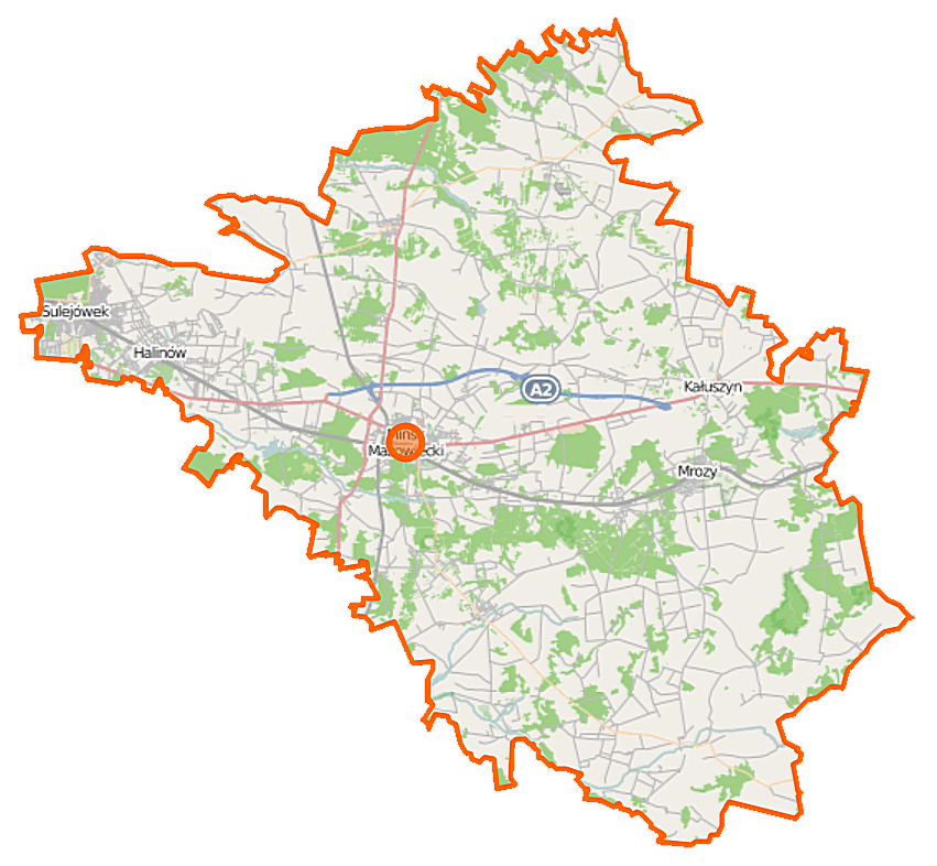
Polski: Mapa powiatu mińskiego, Polska
English: Map of Powiat miński, Poland |
|||||||||
| Date | ||||||||||
| Source | You may find a page on the OpenStreetMap wiki page for Powiat miński | |||||||||
| Creator |
OpenStreetMap contributors OpenStreetMap contributors |
|||||||||
| Permission (Reusing this file) |
OpenStreetMap data is available under the Open Database License (details). Map tiles are licensed under the Creative Commons Attribution-ShareAlike 2.0 license (CC-BY-SA 2.0).
This file is licensed under the Creative Commons Attribution-Share Alike 2.0 Generic license.
|
|||||||||
| Geotemporal data | ||||||||||
| Bounding box |
|
|||||||||
| Georeferencing | If inappropriate please set warp_status = skip to hide. | |||||||||
File history
Click on a date/time to view the file as it appeared at that time.
| Date/Time | Thumbnail | Dimensions | User | Comment | |
|---|---|---|---|---|---|
| current | 07:47, 22 September 2014 | | 851 × 786 (279 KB) | VanWiel (talk | contribs) | {{OpenStreetMap | name = Powiat miński | location = Powiat miński | description = {{pl|Mapa powiatu mińskiego, Polska}} {{en|Map of Powiat miński, Poland}} | top = 52.4049 | left = 21.2201 | r... |
You cannot overwrite this file.
File usage on Commons
There are no pages that use this file.
File usage on other wikis
The following other wikis use this file:
- Usage on eo.wikipedia.org
- Usage on pl.wikipedia.org
- Mińsk Mazowiecki
- Powiat miński
- Rezerwat przyrody Jedlina (województwo mazowieckie)
- Kałuszyn
- Dębe Wielkie
- Mrozy
- Cegłów
- Halinów
- Sulejówek
- Abramy
- Arynów
- Stojadła
- Choszczówka Stojecka
- Huta Mińska
- Marianka (gmina Mińsk Mazowiecki)
- Królewiec (województwo mazowieckie)
- Wólka Czarnińska
- Anielinek
- Barcząca
- Bestwiny
- Borek Czarniński
- Borek Miński
- Brzóze
- Budy Barcząckie
- Budy Janowskie
- Budy Kumińskie
- Budy Łękawickie
- Budy Przytockie
- Budy Wielgoleskie
- Bykowizna
- Cezarów
- Choszcze
- Choszczówka Dębska
- Choszczówka Rudzka
- Chrośla
- Chyżyny
- Ciopan
- Cięciwa (powiat miński)
- Czarnogłów (województwo mazowieckie)
- Desno
- Drożdżówka (województwo mazowieckie)
- Duchów
- Dębe Małe (powiat miński)
- Dębowce
- Długa Kościelna
- Długa Szlachecka
- Dłużew
- Dłużka
- Dziękowizna
View more global usage of this file.