File:Powiat łęczycki location map.png

Original file (1,992 × 1,119 pixels, file size: 635 KB, MIME type: image/png)
Captions
Captions
Summary
[edit]
| Description |
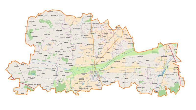
English: Location map |
| Date | |
| Source | Own work |
| Author | Smat |
| Description |
Polski: Mapa powiatu łęczyckiego, Polska
English: Map of powiat łęczycki, Poland |
|||||||||
| Date | ||||||||||
| Source | You may find a page on the OpenStreetMap wiki page for powiat łęczycki | |||||||||
| Creator |
OpenStreetMap contributors OpenStreetMap contributors |
|||||||||
| Permission (Reusing this file) |
OpenStreetMap data is available under the Open Database License (details). Map tiles are licensed under the Creative Commons Attribution-ShareAlike 2.0 license (CC-BY-SA 2.0).
This file is licensed under the Creative Commons Attribution-Share Alike 2.0 Generic license.
|
|||||||||
| Geotemporal data | ||||||||||
| Bounding box |
|
|||||||||
| Georeferencing | If inappropriate please set warp_status = skip to hide. | |||||||||
Licensing
[edit]
| This work contains information from OpenStreetMap, which is made available under the Open Database License (ODbL).
The ODbL does not require any particular license for maps produced from ODbL data. Prior to 1 August 2020, map tiles produced by the OpenStreetMap Foundation were licensed under the CC-BY-SA-2.0 license. Maps produced by other people may be subject to other licences. |
File history
Click on a date/time to view the file as it appeared at that time.
| Date/Time | Thumbnail | Dimensions | User | Comment | |
|---|---|---|---|---|---|
| current | 16:35, 29 October 2017 | | 1,992 × 1,119 (635 KB) | Smat (talk | contribs) | User created page with UploadWizard |
You cannot overwrite this file.
File usage on Commons
There are no pages that use this file.
File usage on other wikis
The following other wikis use this file:
- Usage on eo.wikipedia.org
- Usage on pl.wikipedia.org
- Piątek (miasto)
- Łęczyca
- Witonia
- Grabów
- Tum (województwo łódzkie)
- Konstancin (powiat łęczycki)
- Zamek Królewski w Łęczycy
- Brudzeń
- Koryta (powiat łęczycki)
- Ambrożew
- Balków
- Besiekiery
- Bogdańczew
- Bowętów
- Bronno
- Bryski-Kolonia
- Byszew (powiat łęczycki)
- Chorki
- Chorzepin
- Chrząstówek (powiat łęczycki)
- Chwalborzyce
- Czarnopole
- Daszyna
- Drzykozy
- Dzierzbiętów Duży
- Dzierzbiętów Mały
- Filipów (województwo łódzkie)
- Gajew (powiat łęczycki)
- Garbalin
- Gledzianów
- Gledzianówek
- Golbice
- Goszczędza
- Goszczynno
- Gozdków (województwo łódzkie)
- Gołocice
- Goślub
- Góra Świętej Małgorzaty
- Górki Łubnickie
- Górki Pęcławskie
- Jarochów
- Jarochówek
- Kraski (województwo łódzkie)
- Krężelewice
- Krzepocin Pierwszy
- Kurzjama
- Kadzidłowa
- Karkosy
- Kosew
View more global usage of this file.