File:Pourtalet P1010289mod.jpg
Jump to navigation
Jump to search
Size of this preview: 800 × 480 pixels. Other resolutions: 320 × 192 pixels | 1,024 × 614 pixels | 1,280 × 768 pixels | 2,560 × 1,536 pixels.
Original file (2,560 × 1,536 pixels, file size: 3.47 MB, MIME type: image/jpeg)
Captions
Captions
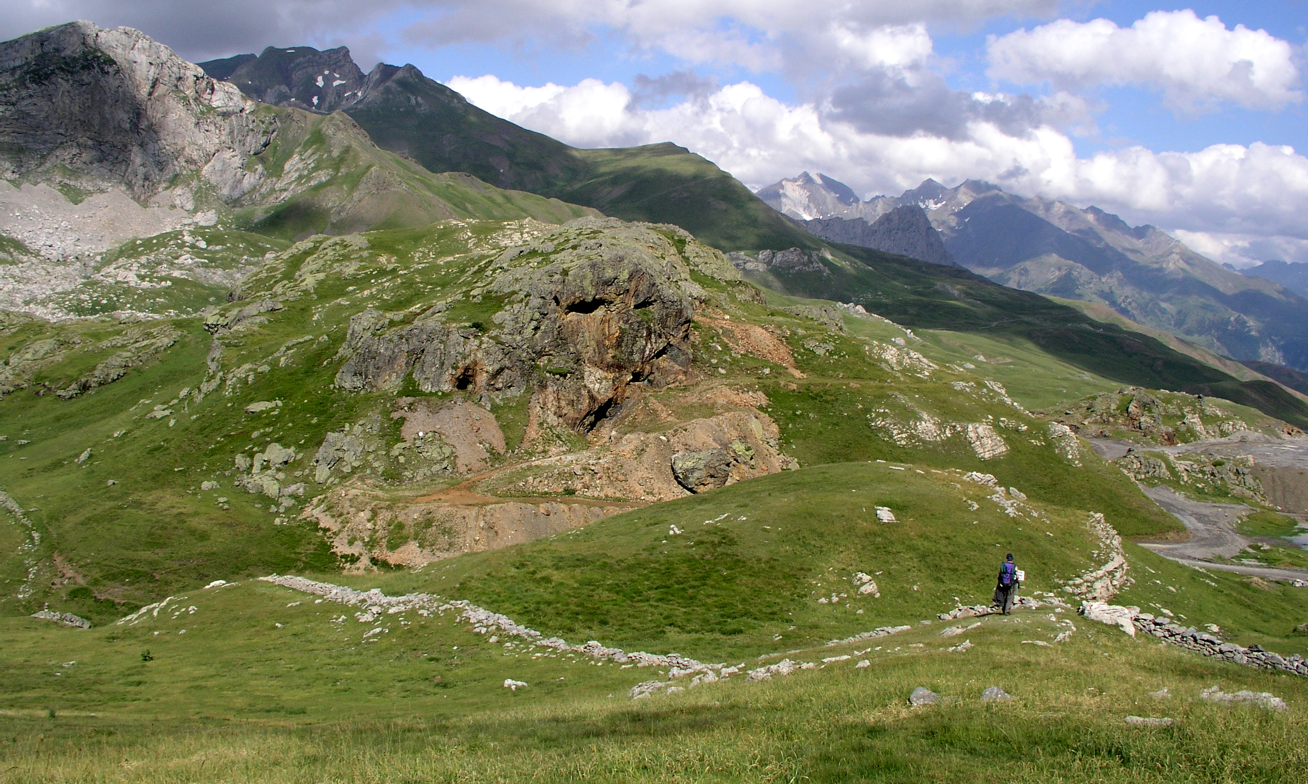
Fluorspar mines at the Pourtalet Pass (France-Spain Frontier).
Summary
[edit]
| Description |
Français : Mines de fluorine au col du Pourtalet (frontière France-Espagne). Au premier plan, le mur de pierres matérialise la frontière ; les mines se trouvent donc du côté espagnol. |
| Date | |
| Source | Own work |
| Author | JYB Devot |
| Camera location | | View this and other nearby images on: OpenStreetMap |
|---|
Licensing
[edit]
I, the copyright holder of this work, hereby publish it under the following license:
This file is licensed under the Creative Commons Attribution-Share Alike 4.0 International license.
- You are free:
- to share – to copy, distribute and transmit the work
- to remix – to adapt the work
- Under the following conditions:
- attribution – You must give appropriate credit, provide a link to the license, and indicate if changes were made. You may do so in any reasonable manner, but not in any way that suggests the licensor endorses you or your use.
- share alike – If you remix, transform, or build upon the material, you must distribute your contributions under the same or compatible license as the original.
File history
Click on a date/time to view the file as it appeared at that time.
| Date/Time | Thumbnail | Dimensions | User | Comment | |
|---|---|---|---|---|---|
| current | 22:36, 7 March 2020 | | 2,560 × 1,536 (3.47 MB) | JYB Devot (talk | contribs) | Uploaded own work with UploadWizard |
You cannot overwrite this file.
File usage on Commons
There are no pages that use this file.
File usage on other wikis
The following other wikis use this file:
- Usage on an.wikipedia.org
- Usage on fr.wikipedia.org