File:Potsdam map 1860.jpg
Jump to navigation
Jump to search
Size of this preview: 800 × 528 pixels. Other resolutions: 320 × 211 pixels | 640 × 423 pixels | 1,024 × 676 pixels | 1,280 × 845 pixels | 1,552 × 1,025 pixels.
Original file (1,552 × 1,025 pixels, file size: 459 KB, MIME type: image/jpeg)
Captions
Captions
Add a one-line explanation of what this file represents
Summary
[edit]
| Description |
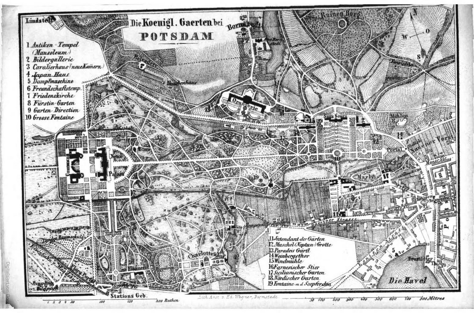
Deutsch: Karte von Potsdam um 1860 |
| Date | |
| Source | Baedecker, Deutschland nebst theilen der angrenzenden lánder bis Strassburg, Luxemburg |
| Author | Karl Baedecker |
Licensing
[edit]
|
This work is in the public domain in its country of origin and other countries and areas where the copyright term is the author's life plus 70 years or fewer. | |
| This file has been identified as being free of known restrictions under copyright law, including all related and neighboring rights. | |
File history
Click on a date/time to view the file as it appeared at that time.
| Date/Time | Thumbnail | Dimensions | User | Comment | |
|---|---|---|---|---|---|
| current | 12:02, 12 August 2017 | | 1,552 × 1,025 (459 KB) | SteinsplitterBot (talk | contribs) | Bot: Image rotated by 90° |
| 10:52, 12 August 2017 |  | 1,025 × 1,554 (444 KB) | A1000 (talk | contribs) | == {{int:filedesc}} == {{Information |Description={{de|Karte von Potsdam um 1860}} |Source=Baedecker, Deutschland nebst theilen der angrenzenden lánder bis Strassburg, Luxemburg |Date=1864 |Author=Karl Baedecker |Permission= |other_versions= }} [[Ca... |
You cannot overwrite this file.
File usage on Commons
There are no pages that use this file.