File:Postomino (gmina) location map.png
Jump to navigation
Jump to search

Size of this preview: 800 × 588 pixels. Other resolutions: 320 × 235 pixels | 640 × 470 pixels | 1,024 × 753 pixels | 1,109 × 815 pixels.
Original file (1,109 × 815 pixels, file size: 145 KB, MIME type: image/png)
Captions
Captions
Add a one-line explanation of what this file represents
| Description |
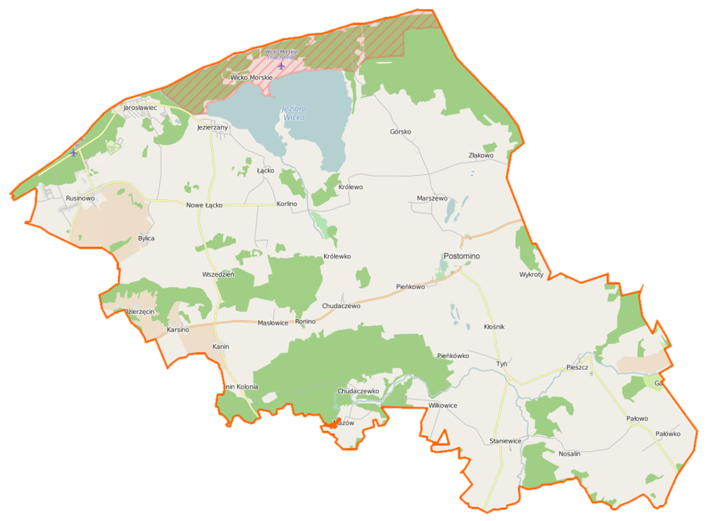
Polski: Mapa gminy Postomino, Polska
English: Map of Gmina Postomino, Poland |
|||||||||
| Date | ||||||||||
| Source | You may find a page on the OpenStreetMap wiki page for Postomino (gmina) | |||||||||
| Creator |
OpenStreetMap contributors OpenStreetMap contributors |
|||||||||
| Permission (Reusing this file) |
OpenStreetMap data is available under the Open Database License (details). Map tiles are licensed under the Creative Commons Attribution-ShareAlike 2.0 license (CC-BY-SA 2.0).
This file is licensed under the Creative Commons Attribution-Share Alike 2.0 Generic license.
|
|||||||||
| Geotemporal data | ||||||||||
| Bounding box |
|
|||||||||
| Georeferencing | If inappropriate please set warp_status = skip to hide. | |||||||||
File history
Click on a date/time to view the file as it appeared at that time.
| Date/Time | Thumbnail | Dimensions | User | Comment | |
|---|---|---|---|---|---|
| current | 08:29, 16 April 2015 | | 1,109 × 815 (145 KB) | VanWiel (talk | contribs) | {{OpenStreetMap | name = Postomino (gmina) | location = Postomino (gmina) | description = {{pl|Mapa gminy Postomino, Polska}} {{en|Map of Gmina Postomino, Poland}} | top = 54.5727 | bottom = 54.4099... |
You cannot overwrite this file.
File usage on Commons
There are no pages that use this file.
File usage on other wikis
The following other wikis use this file:
- Usage on fr.wikipedia.org
- Postomino
- Bylica (Poméranie-Occidentale)
- Chełmno Słowieńskie
- Chudaczewko
- Chudaczewo
- Czarna Buda
- Dołek (Poméranie-Occidentale)
- Dzierżęcin
- Górka (Poméranie-Occidentale)
- Górsko (Poméranie-Occidentale)
- Jarosławiec (Poméranie-Occidentale)
- Jezierzany (Poméranie-Occidentale)
- Kanin (Poméranie-Occidentale)
- Karsino
- Kłośnik
- Korlino
- Królewice (Poméranie-Occidentale)
- Królewko
- Królewo (Poméranie-Occidentale)
- Łącko (Poméranie-Occidentale)
- Łężek (Sławno)
- Marszewo (Sławno)
- Masłowice (Poméranie-Occidentale)
- Mazów
- Mszane
- Mszanka (Poméranie-Occidentale)
- Naćmierz (Sławno)
- Nosalin
- Nosalinek
- Nowe Łącko
- Pałówko
- Pałowo
- Pieńkówko
- Pieńkowo
- Pieszcz
- Przybudówka-Królewo
- Radziszkowo
- Ronino
- Rusinowo (Sławno)
- Staniewice
- Tłuki (Poméranie-Occidentale)
- Tyń
- Wicko Morskie
- Wilkowice (Poméranie-Occidentale)
- Wszedzień (Poméranie-Occidentale)
- Wykroty (Poméranie-Occidentale)
- Złakowo
- Usage on pl.wikipedia.org
View more global usage of this file.
_location_map.png)
_location_map.png&oldid=519989437)