File:Pont sur Laye, Mane, Alpes-de-Haute-Provence, France. Pic 01.jpg
Jump to navigation
Jump to search

Size of this preview: 800 × 600 pixels. Other resolutions: 320 × 240 pixels | 640 × 480 pixels | 1,024 × 768 pixels | 1,280 × 960 pixels | 2,592 × 1,944 pixels.
Original file (2,592 × 1,944 pixels, file size: 3 MB, MIME type: image/jpeg)
Captions
Captions
Add a one-line explanation of what this file represents
|
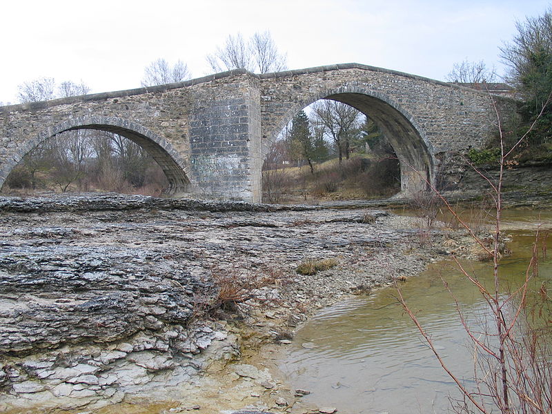
This building is indexed in the base Mérimée, a database of architectural heritage maintained by the French Ministry of Culture, under the reference PA00080416
|
| Description |
Deutsch: Die Pont sur Laye in der Nähe von Mane, Département Alpes-de-Haute-Provence, Provence (Frankreich)
English: The Pont sur Laye near Mane, Alpes-de-Haute-Provence department, Provence, France |
||||
| Date | |||||
| Source | originally posted to Flickr as Pont roman de Mane | ||||
| Author |
|
||||
| Permission (Reusing this file) |
This file is licensed under the Creative Commons Attribution-Share Alike 2.0 Generic license.
|
File history
Click on a date/time to view the file as it appeared at that time.
| Date/Time | Thumbnail | Dimensions | User | Comment | |
|---|---|---|---|---|---|
| current | 23:11, 2 April 2009 | | 2,592 × 1,944 (3 MB) | Flickr upload bot (talk | contribs) | Uploaded from http://flickr.com/photo/8691002@N04/3319648561 using Flickr upload bot |
You cannot overwrite this file.
File usage on Commons
The following page uses this file:
File usage on other wikis
The following other wikis use this file:
- Usage on ca.wikipedia.org
- Usage on de.wikipedia.org
- Usage on en.wikipedia.org
- Usage on es.wikipedia.org
- Usage on fr.wikipedia.org
- Usage on it.wikipedia.org
- Usage on tr.wikipedia.org
- Usage on uk.wikipedia.org
- Usage on www.wikidata.org