File:Pond with 1800 farmstead in Napier Township.jpg
Jump to navigation
Jump to search

Size of this preview: 800 × 532 pixels. Other resolutions: 320 × 213 pixels | 640 × 426 pixels | 1,024 × 681 pixels | 1,280 × 851 pixels | 2,560 × 1,702 pixels | 6,016 × 4,000 pixels.
Original file (6,016 × 4,000 pixels, file size: 6.45 MB, MIME type: image/jpeg)
Captions
Captions
Add a one-line explanation of what this file represents
| Camera location | | View this and other nearby images on: OpenStreetMap |
|---|
| Description |
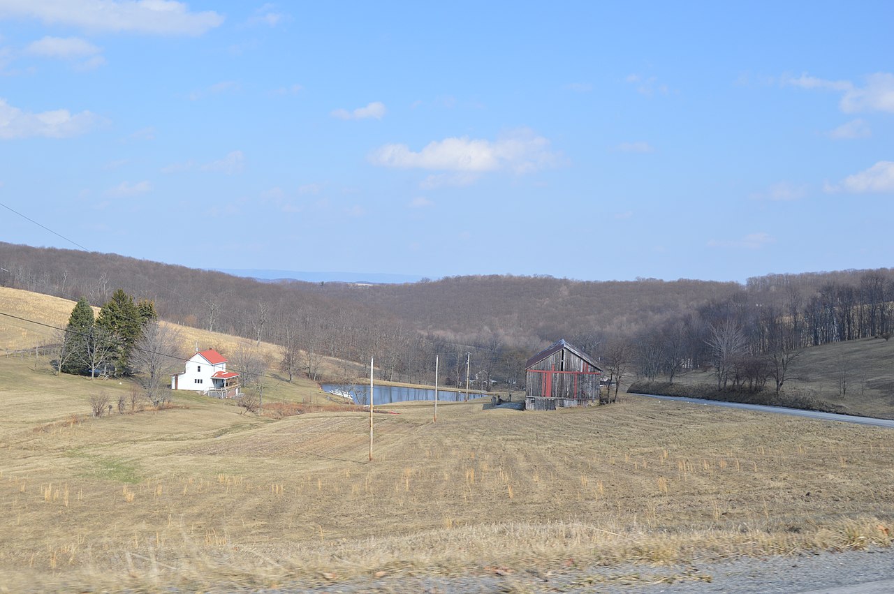
English: A farm on the northern side of Shaffer Mountain Road east of Wilt Hollow Road in Napier Township, Bedford County, Pennsylvania, United States. Wooded hills obscure the horizon in most spots, but the gap above the pond (centered at 40°5′30″N 78°41′8″W / 40.0917°N 78.68556°W) permits a distant view of Chestnut Ridge, outlined against the sky. The farmstead near the middle of the photograph dates from 1800. |
||
| Date | Taken on 21 March 2015 | ||
| Source | Own work | ||
| Author | Nyttend | ||
| Permission (Reusing this file) |
|
File history
Click on a date/time to view the file as it appeared at that time.
| Date/Time | Thumbnail | Dimensions | User | Comment | |
|---|---|---|---|---|---|
| current | 01:17, 1 April 2015 | | 6,016 × 4,000 (6.45 MB) | Nyttend (talk | contribs) | {{Location|40|5|38|N|78|42|0|W}} {{Information |Description={{en|A farm on the northern side of Shaffer Mountain Road east of Wilt Hollow Road in {{w|Napier Township, Bedford County, Pennsylvania|Napier Township}}, {{w|Bedford County, Pennsylvania|Bedf... |
You cannot overwrite this file.
File usage on Commons
There are no pages that use this file.