File:Pond below Pen-y-crug - geograph.org.uk - 374807.jpg
Jump to navigation
Jump to search
No higher resolution available.
Pond_below_Pen-y-crug_-_geograph.org.uk_-_374807.jpg (640 × 480 pixels, file size: 151 KB, MIME type: image/jpeg)
Captions
Captions
Add a one-line explanation of what this file represents
Summary
[edit]
| Description |
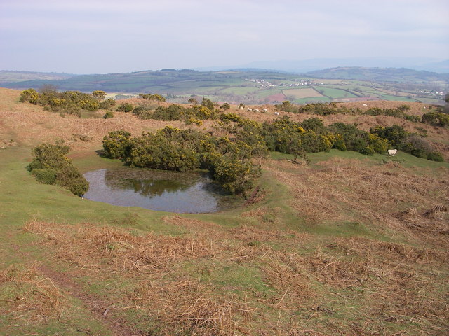
English: Pond below Pen-y-crug Mounds and hollows covered by bracken and gorse are all that remain of a 19th century brick and tile works on the eastern flanks of Pen-y-crug outside Brecon. Though this National Park owned site is more famed for the Iron Age hillfort which crowns the 331m high hill SN0230, there are other facets to it. The site which is open country can be accessed by a couple of rights of way. |
| Date | |
| Source | From geograph.org.uk |
| Author | Alan Bowring |
| Attribution (required by the license) | Alan Bowring / Pond below Pen-y-crug / |
| Camera location | | View this and other nearby images on: OpenStreetMap |
|---|
_heading:45.00&language=en)
| Object location | | View this and other nearby images on: OpenStreetMap |
|---|
_heading:45.00&language=en)
Licensing
[edit]

|
This image was taken from the Geograph project collection. See this photograph's page on the Geograph website for the photographer's contact details. The copyright on this image is owned by Alan Bowring and is licensed for reuse under the Creative Commons Attribution-ShareAlike 2.0 license.
|
This file is licensed under the Creative Commons Attribution-Share Alike 2.0 Generic license.
Attribution: Alan Bowring
- You are free:
- to share – to copy, distribute and transmit the work
- to remix – to adapt the work
- Under the following conditions:
- attribution – You must give appropriate credit, provide a link to the license, and indicate if changes were made. You may do so in any reasonable manner, but not in any way that suggests the licensor endorses you or your use.
- share alike – If you remix, transform, or build upon the material, you must distribute your contributions under the same or compatible license as the original.
File history
Click on a date/time to view the file as it appeared at that time.
| Date/Time | Thumbnail | Dimensions | User | Comment | |
|---|---|---|---|---|---|
| current | 21:14, 4 January 2011 | | 640 × 480 (151 KB) | GeographBot (talk | contribs) | == {{int:filedesc}} == {{Information |description={{en|1=Pond below Pen-y-crug Mounds and hollows covered by bracken and gorse are all that remain of a 19th century brick and tile works on the eastern flanks of Pen-y-crug outside Brecon. Though this Nati |
You cannot overwrite this file.
File usage on Commons
There are no pages that use this file.